SCT01 - Green Corridors Navigator: Smart Map Prototype for Maritime Decarbonization
- Autoridad Portuaria de Santa Cruz de Tenerife
Santa Cruz de Tenerife
- Organisation
- Port Authority of Santa Cruz de Tenerife
- Santiago Yanes
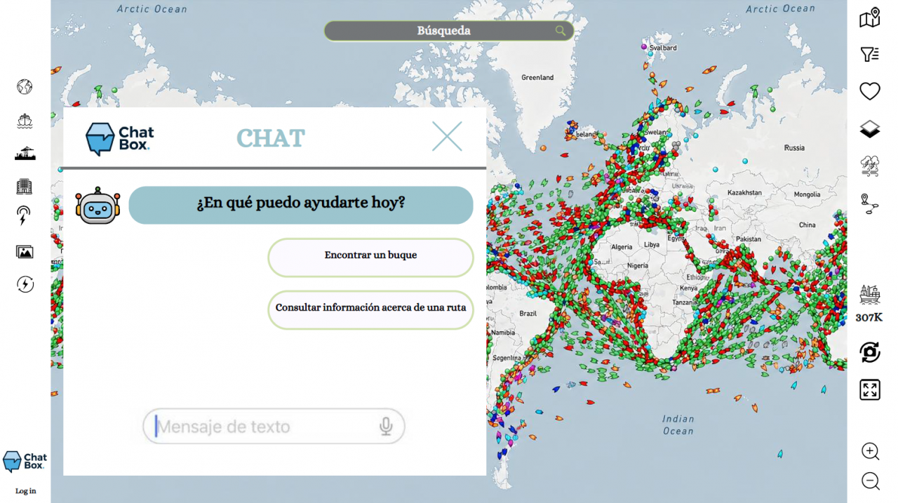
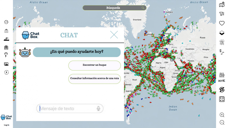
The transition to sustainable maritime transport requires tools capable of connecting data, infrastructure, and investment opportunities. The challenge lies in developing a smart digital platform that helps identify, plan and accelerate the creation of maritime green corridors between ports. The solution must combine GIS technologies, real-time AIS data and strategic information on port and energy infrastructure to provide a comprehensive view of the alternative fuels ecosystem. Through an interactive map (digital twin), users should be able to visualize the readiness of ports, onshore power supply (OPS) production and delivery projects, renewable fuels, existing or potential green corridors, the maritime traffic connecting them, and the availability of batteries on ships. As a unique element, the platform must incorporate a conversational assistant based on generative AI that allows queries in natural language, producing immediate answers on the availability of alternative fuels, port capacities, proximity to energy nodes, prioritization criteria and viability of new sustainable routes.
What are we looking for?
- Integrate scattered data into a single territorial and maritime intelligence tool.
- Evaluate the level of preparedness of ports to operate with alternative fuels.
- Identify supply opportunities by connecting with energy production, storage, and distribution plants.
- Detect and visualize current and future green corridors supported by real navigation data.
- Facilitate decision-making for administrations, ports, shipping companies, logistics operators and investors.
The ultimate goal is to create a platform that transforms complex data into actionable knowledge, accelerating the construction of the green corridor network that will drive the decarbonization of maritime transport.
You want to join the team:
- What the challenge owner would like to develop over 48h
- An interactive digital platform with API connections to different data sources.
- Which skills the challenge owner is looking for
- Data analyst, IT developer, oceanographer, naval engineer, chemical engineer.