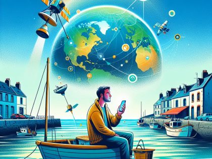
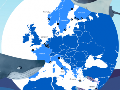
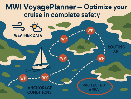
A mobile application prototype that integrates satellite data (from Copernicus and complementary sources) and provides real-time, simplified marine information (weather, currents, zones, alerts) for ...
All challenges
Here is the list of challenges in every city.
By clicking on the « search » button, you can filter the challenges according to your preferences.
27 Result(s) found
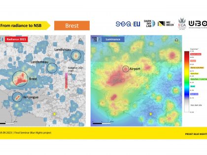
Reproducible analysis method across different territories based on the analysis of available data.
Brest
A prototype of this optimisation tool
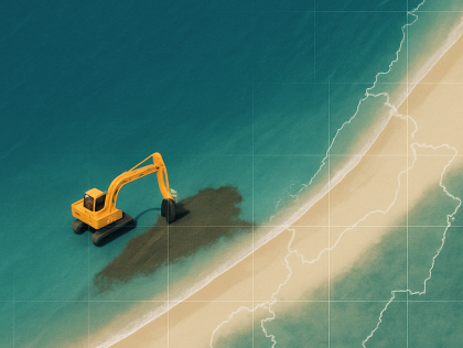
Over the 48 hours, we aim to develop a prototype that combines an algorithm, a map interface, and a database to detect and visualize beach nourishment operations. The algorithm will analyze satellite...
Brest
A basic yet interactive user interface coupled with an API, which can take in selected underwater images together and output a 3D reconstruction of the asset.
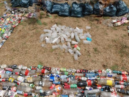
Over the 48 hours, our goal is to design, build, and test a working prototype of a modular, city-ready waste collection and sorting unit that can handle seasonal waste surges caused by overtourism. ...
Cádiz
Geographical Information System
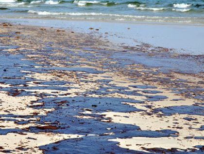
An information system reflecting or modelling the potential impact of an oil spill on the Cadiz Coast
I would like to get a tool (a method, an application, or a system), which allows EU authorities and interested citizens to quickly and efficiently learn about environmentally friendly disruptive ...
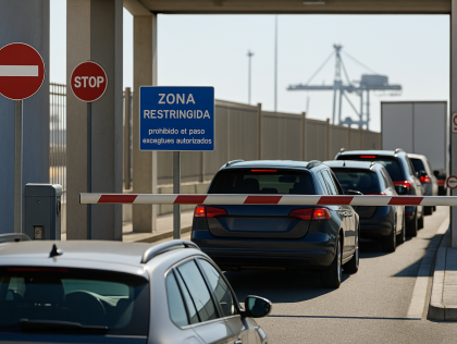
A functional prototype or interactive simulation to manage port access using real-time and predictive data
Leadership, knowledge in marine science, IA in relation to that
Cape Town
A visual interface or dashboard that shows ROV sensor data meaningfully (e.g., map overlays, time graphs, alerts)
Kuala Lumpur
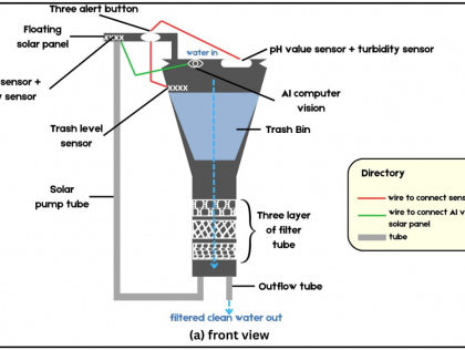
Over the 48 hours, we aim to develop a real-time, interactive web dashboard that connects with our AI-powered floating Seabin prototype. The platform will visualize trash detection results, sensor ...
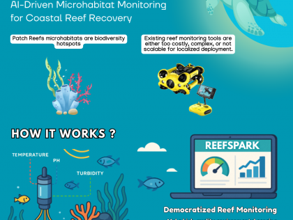
1. A web-based dashboard showing historical analysis of ocean data; live monitoring of artificially mimicked data (to replicate as the data coming from reefSpark drone stack) and health scores of the...
We aim to prototype an interactive online platform (web dashboard) that:
- Geolocates marine species observed through EMO BON
- Enables temporal and spatial filtering of biodiversity indices
- ...
- Geolocates marine species observed through EMO BON
- Enables temporal and spatial filtering of biodiversity indices
- ...
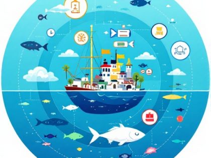
Design an intuitive and engaging prototype (app, website, QR code system, digital panel, or other innovative solution) that reveals the complete journey of seafood products - from harvest to table. ...
Develop a mobile application
- To respond to a major social or environmental problem
- To learn and develop my skills through collaborative experience
- Contributing to innovation in the ...
- To respond to a major social or environmental problem
- To learn and develop my skills through collaborative experience
- Contributing to innovation in the ...
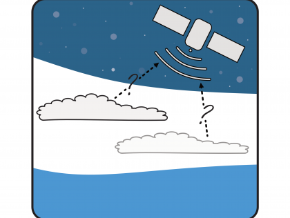
We aim to develop a robust and playful algorithm that can reliably distinguish clouds from snow and ice in Sentinel-2 images of polar regions. This will include:
- A trained machine learning model...
- A trained machine learning model...
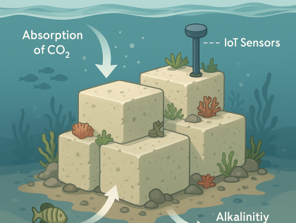
I want to see the feasibility and make the first prototype on a reduced scale to present the model not only of the limestone sculpture but of a functional IOT model.
A digital tool in the form of an interactive game
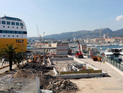
Tool that detects and anticipates pollution in the port, tracking its progress and triggering clean-up operations
A tool for monitoring consumption and assessing pollution avoided
Create database and model to predict the behavior of these pollutants and their impact with AI
- To respond to a major social or environmental problem
- Contributing to innovation in the ...
- To respond to a major social or environmental problem
- Contributing to innovation in the ...
Create a sensor to monitor air quality at sea, in connection with maritime traffic
- To respond to a major social or environmental problem
- Contributing to innovation in the maritime sector
-...
- To respond to a major social or environmental problem
- Contributing to innovation in the maritime sector
-...
Victoria
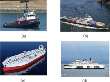
Develop an AI/ML driven application to classify ships based on a training dataset of hydrophone recordings with four different identified types of ships (tug, cargo, tanker, passenger). Train this ...
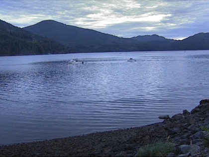
An AI/ML system that can detect and quantify boat traffic from thousands of still images captured every 5 minutes by a shore camera. This kind of quantitative analysis could be of great interest to ...
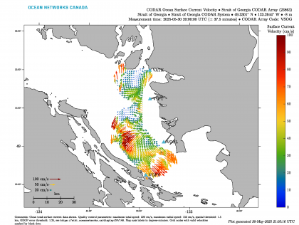
An AI/ML system that can categorize plots of surface currents (measured by a coastal radar array) into 3 dominant modes, which we hypothesize to be mostly influenced by tides, river flow and ...
