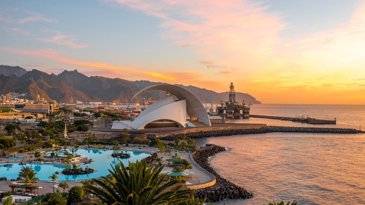
Santa Cruz de Tenerife
- Challenges in this city
Santa Cruz de Tenerife
An interactive digital platform with API connections to different data sources.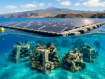
Santa Cruz de Tenerife
A spatial GIS model and interactive visualisation tool to optimise artificial reef deployment beneath the floating solar mooring system of FV Playa Quemada — a bay devastated by 53 aquaculture cages ... A data pipeline and operational dashboard prototype:
(1) ingestion of real-time or simulated telemetry from the Dummy Rescue device (GPS, depth, temperature, salinity via MQTT/API);
(2) ...