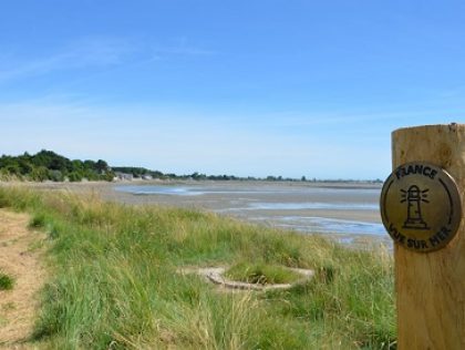
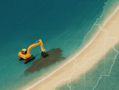
An executable tool, integrated into software such as QGIS or developed independently, could be designed to enable semi-automatic mapping of the coastal path using aerial images. This software would ...
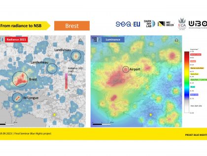
Brest
- Challenges in this city
- The goal is to build a database and a tool capable of automatically populating it. This database will centralize all key information related to each maritime navigation aid within a defined ...The goal is to develop an automatic annotation algorithm for underwater data. We envision the following steps in the challenge:
1. Handling the video data
2. Creating audio data associated with the...A mobile application prototype that integrates satellite data (from Copernicus and complementary sources) and provides real-time, simplified marine information (weather, currents, zones, alerts) for ...Reproducible analysis method across different territories based on the analysis of available data.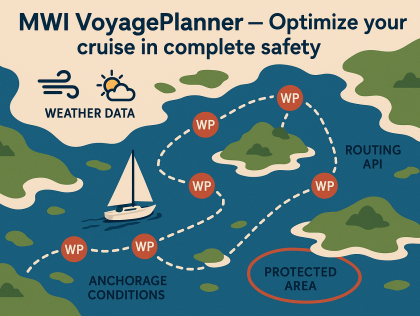
Brest
A prototype of this optimisation toolA digital or interactive toolOver the 48 hours, we aim to develop a prototype that combines an algorithm, a map interface, and a database to detect and visualize beach nourishment operations. The algorithm will analyze satellite...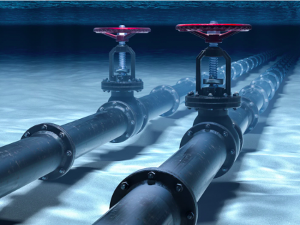
Brest
A basic yet interactive user interface coupled with an API, which can take in selected underwater images together and output a 3D reconstruction of the asset.

