BRE14: Recharge Your Beach! Mapping to Anticipate
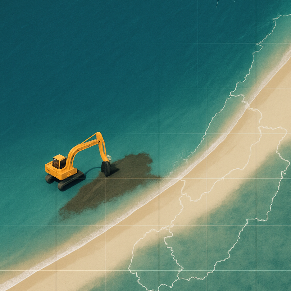
- Generated by AI (ChatGPT)
Brest
- Organisation
- CEREMA
- Matthieu Suire
- Where, when, and how are beaches replenished with sand or pebbles? Beach nourishment is a common but often undocumented practice used to protect coastlines from erosion and rising seas. Yet, it remains largely invisible in public data and long-term monitoring efforts. This challenge aims to detect and map these interventions using satellite imagery, orthophotos, and other available data sources. By identifying visible changes, estimating deposited volumes, and analyzing patterns over time, the project will shed light on the frequency, scale, and spatial dynamics of coastal recharges. The goal: to build a shared, open understanding of this practice and contribute to better-informed decisions for coastal resilience and sustainability.
- What the challenge owner would like to develop over 48h
- Over the 48 hours, we aim to develop a prototype that combines an algorithm, a map interface, and a database to detect and visualize beach nourishment operations. The algorithm will analyze satellite and aerial imagery to identify changes on beaches that may correspond to artificial sand or gravel deposits. Detected events will be geolocated, time-stamped, and stored in a structured database. An interactive map will display the results, allowing users to explore the spatial and temporal patterns of these interventions.
- Which skills the challenge owner is looking for
- Data Analyst, oceanographer, geomatics engineer


