BRE01: Digitization of the coastal path using artificial intelligence
- Tout droits réservés (Cerema)
Brest
- Organisation
- CEREMA
- Yohan Cobac
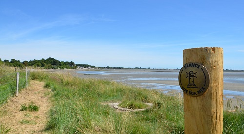
The coastal path will be digitized using an algorithm based on artificial intelligence, which will use aerial photographs to automatically map out the path. This map can then be enhanced with additional information such as the nature of the path (surface, width, etc.) or its vulnerability to climate and ocean risks. One of the main difficulties identified lies in developing an algorithm capable of proposing the most relevant route based on the configuration of the coastline. The algorithm will also need to be robust enough to adapt to the variable quality of aerial images and the sometimes limited visibility of the trail, particularly due to vegetation or other obstacles. Digitalization of the coastal path using artificial intelligence
- What the challenge owner would like to develop over 48h
- An executable tool, integrated into software such as QGIS or developed independently, could be designed to enable semi-automatic mapping of the coastal path using aerial images. This software would use artificial intelligence or image processing algorithms to detect the visible lines of the path and propose a preliminary route. The user would then be able to manually adjust this route to ensure its accuracy. In addition, the tool would include features for diagnosing areas at risk. By cross-referencing the trail route with environmental data (coastal erosion, ground movements, elevation, exposure to waves, etc.), it would identify and map sections of the trail that are particularly vulnerable to climate and ocean hazards. This approach would make it possible to better target adaptation or maintenance needs and prioritize interventions.
- Which skills the challenge owner is looking for
- AI engineer/developer
Cartographer
Data engineer


