SCT03 - Real-Time SAR Drift Prediction Using Live Sensor Data from an Instrumented Ocean Mannequin
- JRMD LAB, S.L.
Santa Cruz de Tenerife
- Organisation
- JRMD LAB, S.L.
- Miguel Díaz Escorihuela
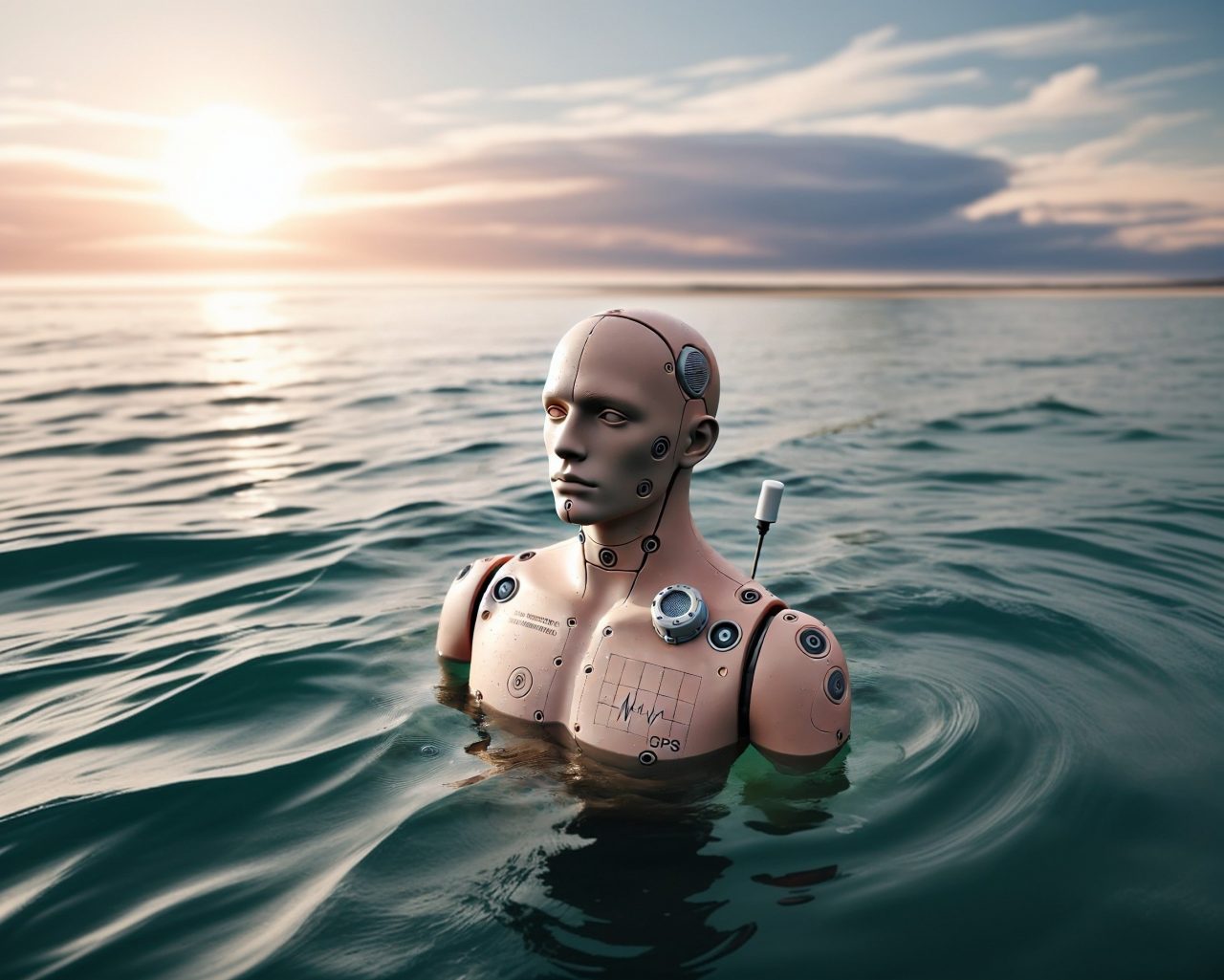
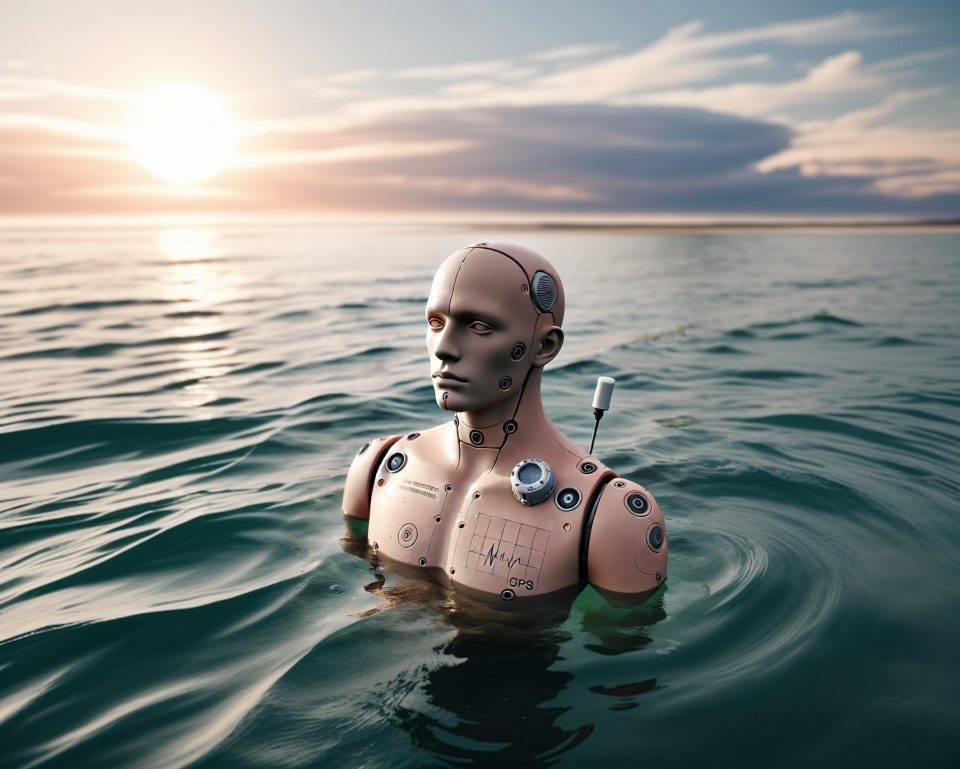
When a person falls overboard, every minute counts. Current Search and Rescue (SAR) drift prediction tools rely on ocean models — but these models generate predictions without any real-time feedback from the actual object in the water. What if a physical device could continuously correct the prediction with its own measured position? Dummy Rescue is a patented instrumented mannequin designed to simulate a victim at sea. Developed in collaboration with the ETSII-UPM (Universidad Politécnica de Madrid), it transmits real-time GPS position, depth, water temperature and IMU data via IoT and satellite communications. The project has confirmed operational interest from SASEMAR (Spanish Maritime Safety Agency) as a SAR training and algorithm validation tool. The challenge: build a working software prototype over 48 hours that integrates simulated device telemetry with OpenDrift — the open-source drift prediction engine used by real SAR agencies (Norwegian Met Institute) — to generate a continuously corrected drift prediction displayed on an operational maritime map. The hardware prototype is under development.
The 48-hour challenge focuses entirely on the data pipeline, the integration layer, and the operational visualisation — using synthetic data in the same format the real device will produce. The result: a decision-support tool showing predicted victim position updated in real time as new sensor data arrives, bridging the gap between ocean models and physical ground truth.
You want to join the team:
- What the challenge owner would like to develop over 48h
- A data pipeline and operational dashboard prototype:
(1) ingestion of real-time or simulated telemetry from the Dummy Rescue device (GPS, depth, temperature, salinity via MQTT/API);
(2) integration with OpenDrift to run continuous drift correction using live position as ground truth;
(3) visualisation layer on a maritime map (Cesium or Deck.gl) showing predicted drift corridor, actual device position, and confidence interval.
Output: a working web tool usable by SAR coordinators during a search operation.
- Which skills the challenge owner is looking for
- Python developer with data pipeline experience; marine data scientist or oceanographer familiar with drift models (OpenDrift); GIS / geomatics engineer for maritime visualisation; frontend developer (web mapping, Cesium or Deck.gl)