The goal is to build a database and a tool capable of automatically populating it. This database will centralize all key information related to each maritime navigation aid within a defined ...
All challenges
Here is the list of challenges in every city.
By clicking on the « search » button, you can filter the challenges according to your preferences.
18 Result(s) found
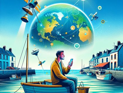
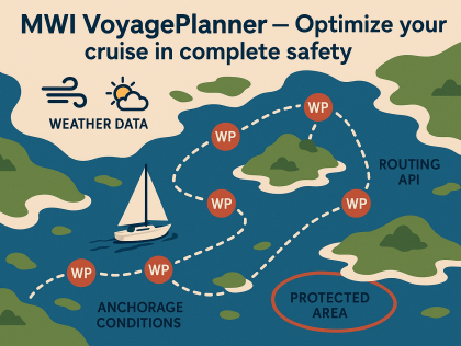
A mobile application prototype that integrates satellite data (from Copernicus and complementary sources) and provides real-time, simplified marine information (weather, currents, zones, alerts) for ...
Brest
A prototype of this optimisation tool
Brest
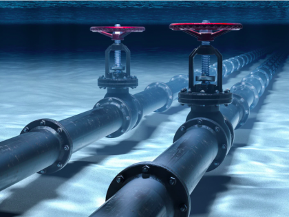
A basic yet interactive user interface coupled with an API, which can take in selected underwater images together and output a 3D reconstruction of the asset.
Cádiz
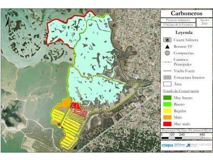
Geographical Information System
I would like to get a tool (a method, an application, or a system), which allows EU authorities and interested citizens to quickly and efficiently learn about environmentally friendly disruptive ...
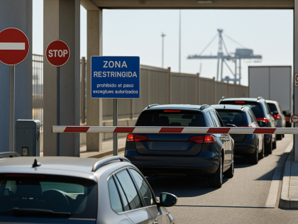
A functional prototype or interactive simulation to manage port access using real-time and predictive data
Leadership, knowledge in marine science, IA in relation to that
Cape Town
A visual interface or dashboard that shows ROV sensor data meaningfully (e.g., map overlays, time graphs, alerts)
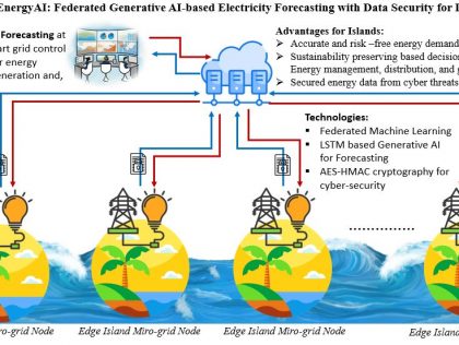
We aim to develop a secure, AI-powered digital framework for island microgrids: a prototype energy forecasting dashboard that combines machine learning-based Generative AI with AES-HMAC cryptographic...

We would like to develop a working prototype of the SeaSafe AI system. This will include a web-based dashboard that simulates real-time vessel tracking using AIS data and visualises predicted ...
Kuala Lumpur
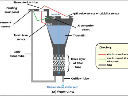
Over the 48 hours, we aim to develop a real-time, interactive web dashboard that connects with our AI-powered floating Seabin prototype. The platform will visualize trash detection results, sensor ...
Develop a mobile application
- To respond to a major social or environmental problem
- To learn and develop my skills through collaborative experience
- Contributing to innovation in the ...
- To respond to a major social or environmental problem
- To learn and develop my skills through collaborative experience
- Contributing to innovation in the ...
A prototype of the application(s) based on realistic data as well as a plan of integration with international rescue services.

A digital or interactive tool based on a map or a multi-drones navigation algorithm to visualize drone positioning following a reorganization when communication is lost
Victoria
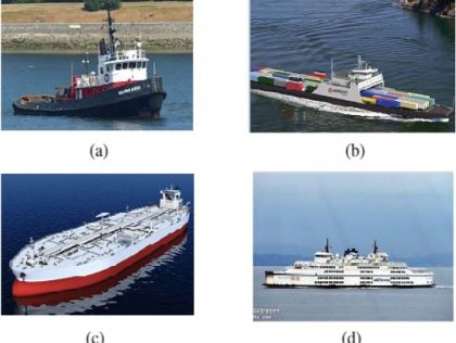
Develop an AI/ML driven application to classify ships based on a training dataset of hydrophone recordings with four different identified types of ships (tug, cargo, tanker, passenger). Train this ...
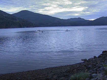
An AI/ML system that can detect and quantify boat traffic from thousands of still images captured every 5 minutes by a shore camera. This kind of quantitative analysis could be of great interest to ...
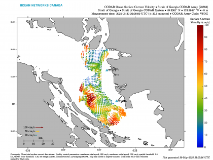
An AI/ML system that can categorize plots of surface currents (measured by a coastal radar array) into 3 dominant modes, which we hypothesize to be mostly influenced by tides, river flow and ...
