All challenges
Here is the list of challenges in every city.
By clicking on the « search » button, you can filter the challenges according to your preferences.
27 Result(s) found
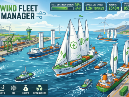
Ideally, I would like to develop: a browser-based serious game (web application, playable without installation) combining fleet management simulation and real maritime data. The prototype will ...
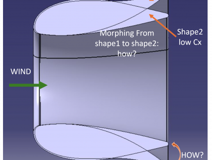
A physical model with a functional morphing mechanism (cable-actuated, pneumatic or structural), validated by wind testing on-site. CFD data on start shapes will be provided at the start of the ...
Brest
The planned features include:
• I) A brief introductory and tutorial phase to establish the initial context and teach the player the mechanics.
• II) An exploration phase set in a temperate marine ...
• I) A brief introductory and tutorial phase to establish the initial context and teach the player the mechanics.
• II) An exploration phase set in a temperate marine ...
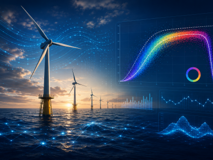
An interactive dashboard plotting production-vs-wind scatter points and the reconstructed real power curve for each French offshore wind farm, with complementary analyses added as time allows (wake ...
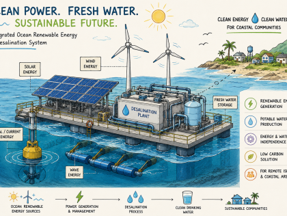
The team aims to develop an innovative and technically feasible concept for an integrated ocean-based renewable energy and desalination system for coastal and island applications. The expected ...
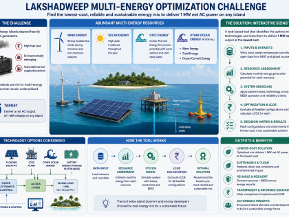
An interactive web-based decision-support tool with the following features:
1. Input panel: Island name, load target (default 1 MW AC), geographic coordinates
2. Pre-loaded static datasets: Monthly...
1. Input panel: Island name, load target (default 1 MW AC), geographic coordinates
2. Pre-loaded static datasets: Monthly...

Our prototype is already functional. During the 48-hour challenge, we will focus on integrating live data, improving AI model accuracy, enhancing the interactive map and dashboard, optimizing system ...

Over the 48-hour hackathon, we aim to develop a proof-of-concept digital decision-support platform that uses marine and environmental data to support the deployment and operation of portable ...
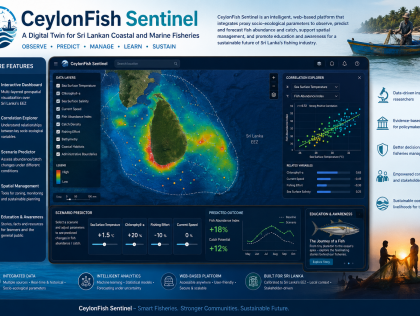
An interactive web interface that can be developed into a mobile application at a later stage.
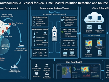
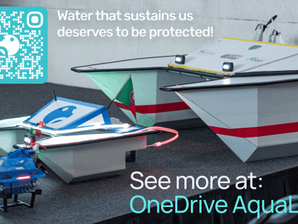
Over the 48-hour hackathon, we aim to develop a working prototype of AquaTrace, an IoT-enabled mobile water quality monitoring system.
We will build a small-scale autonomous or semi-autonomous ...
We will build a small-scale autonomous or semi-autonomous ...
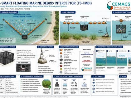
The team will develop a functional prototype consisting of:
Interactive web-based dashboard
Marine debris hotspot prediction map
Environmental data integration engine
Coastal vulnerability ...
Interactive web-based dashboard
Marine debris hotspot prediction map
Environmental data integration engine
Coastal vulnerability ...
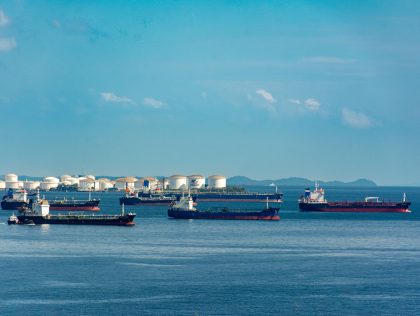
To develop a live AI verification platform — a web application where Chief Engineers upload or photograph a Bunker Delivery Note, and five specialized AI agents instantly analyze it for fraud, ...
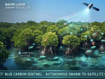
Over the 48-hour hackathon, our team will develop a working Digital Twin MVP (Minimum Viable Product) consisting of three core technical components:
The Predictive Data Engine (Backend & ...
The Predictive Data Engine (Backend & ...
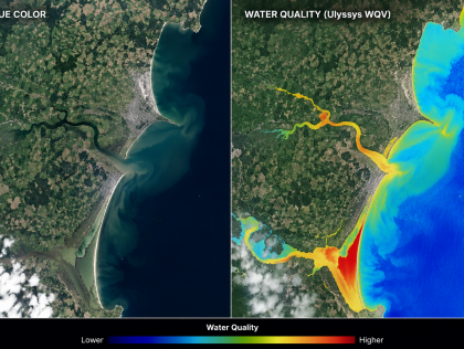
Over the 48 hours, the aim would be to build a simple interactive website with a map that combines selected environmental layers, such as rainfall, river, satellite observations, water-quality ...
An interactive web-based mapping tool, powered by a valuation algorithm.
Over the 48 hours we will build a working prototype that:
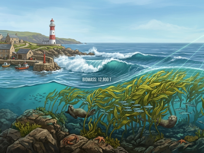
1. Detects and maps a coastal kelp habitat in a selected Cork ...
Over the 48 hours we will build a working prototype that:
1. Detects and maps a coastal kelp habitat in a selected Cork ...
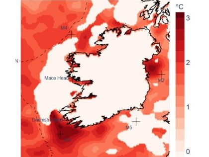
Develop a prototype that integrates satellite-derived Sea Surface Temperature (SST) and other environmental parameters to investigate the impacts of marine heatwaves on coastal phytoplankton ...
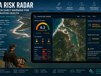
We want to develop a working decision-support prototype for coastal lagoon risk monitoring.
The prototype will combine open marine, weather, tide, rainfall, satellite and official ...
The prototype will combine open marine, weather, tide, rainfall, satellite and official ...
Over the 48 hours we will build a working proof-of-concept of the MARÉ platform — an interactive web prototype backed by a real data-processing pipeline that demonstrates the full forensic ...
The challenge invites teams to develop creative models of circularity, nature-based solutions (like new biomaterials), traceability apps, or social businesses that value local waste-picker ...
The challenge seeks solutions to elevate the Bahian capital's response capacity to coastal vulnerabilities, engaging the population in self-defense and the planning of their own territory.
The challenge asks for proposals that structure "Fair Trade" networks, promoting the strengthening of ocean culture, heritage education, and traditional knowledge as instruments of sustainable ...
Proposals can include digital tools, gamified educational platforms, participatory methodologies for integration with nature, or communication and art strategies that expand engagement and the ...
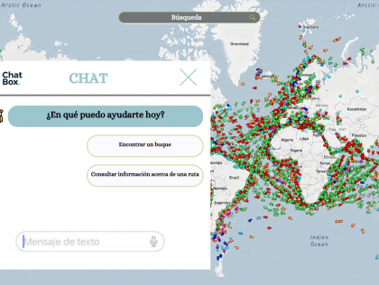
Santa Cruz de Tenerife
An interactive digital platform with API connections to different data sources.
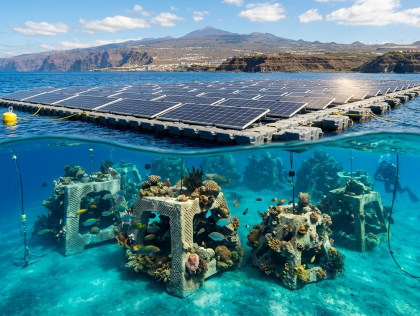
Santa Cruz de Tenerife
A spatial GIS model and interactive visualisation tool to optimise artificial reef deployment beneath the floating solar mooring system of FV Playa Quemada — a bay devastated by 53 aquaculture cages ...
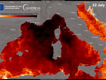
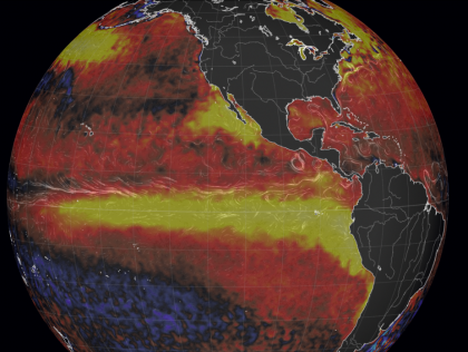
an interactive tool that would allow users to visualize the behavior of marine heat waves for a specific area and on a selected date
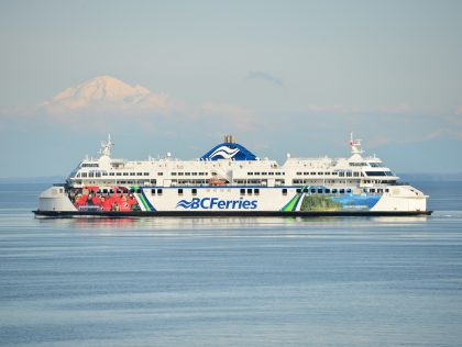
Victoria
A prototype application that could be displayed on a kiosk installed on BC Ferries routes, to educate and engage the public of all ages in ocean data, marine life, geography and climate local to the ...
Victoria
A webapp showing satellite sea surface temperatures, numerical weather forecasts and data from ocean observatories, with analysis comparing the present to past conditions. This should be clean, easy ...