All challenges
Here is the list of challenges in every city.
By clicking on the « search » button, you can filter the challenges according to your preferences.
23 Result(s) found
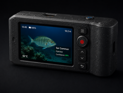
Over the 48 hours, we will focus on three things.
First, building a lightweight fish-species recognition model, optimizing it to run with the lowest possible memory footprint on embedded ...
First, building a lightweight fish-species recognition model, optimizing it to run with the lowest possible memory footprint on embedded ...
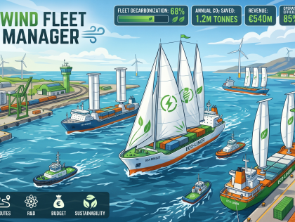
Ideally, I would like to develop: a browser-based serious game (web application, playable without installation) combining fleet management simulation and real maritime data. The prototype will ...
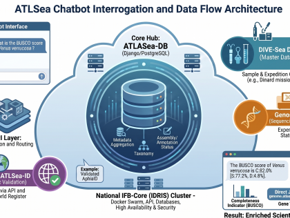
The MVP expected at the end of the 48 hours will include a simple web interface, a connection to the PostgreSQL database or tabular files, a query engine based on a large language model, and a system...
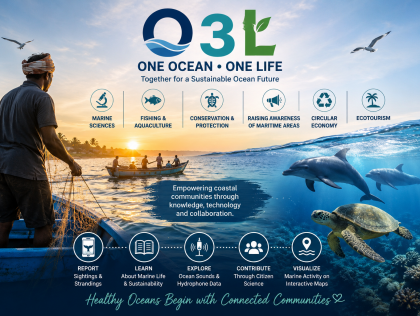
During the 48-hour hackathon, the team has to develop a mobile-friendly digital platform and interactive citizen science tool called O3L (One Ocean • One Life).
The prototype will focus on marine ...
The prototype will focus on marine ...
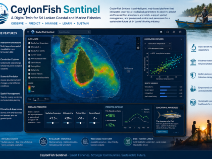
An interactive web interface that can be developed into a mobile application at a later stage.
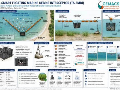
The team will develop a functional prototype consisting of:
Interactive web-based dashboard
Marine debris hotspot prediction map
Environmental data integration engine
Coastal vulnerability ...
Interactive web-based dashboard
Marine debris hotspot prediction map
Environmental data integration engine
Coastal vulnerability ...
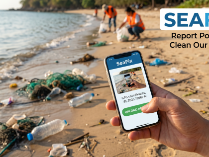
I will build a webpage for reporting ocean trash with photos and GPS, connected directly to a live tracking map prototype built in Google Studio.
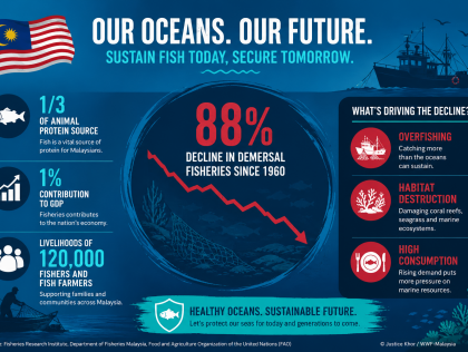
A web-based interactive mapping platform for Malaysian fisheries with machine learning model.
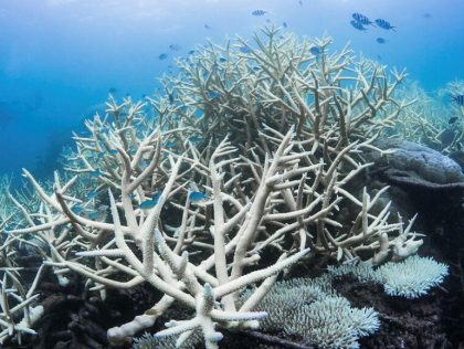
A web-based early warning and decision-support platform that predicts coral reef stress and bleaching risk using environmental and ocean data.
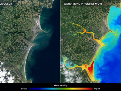
Over the 48 hours, the aim would be to build a simple interactive website with a map that combines selected environmental layers, such as rainfall, river, satellite observations, water-quality ...
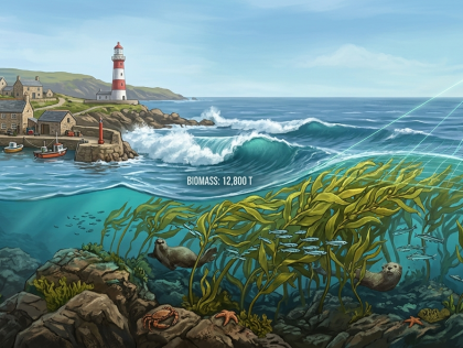
An interactive web-based mapping tool, powered by a valuation algorithm.
Over the 48 hours we will build a working prototype that:
1. Detects and maps a coastal kelp habitat in a selected Cork ...
Over the 48 hours we will build a working prototype that:
1. Detects and maps a coastal kelp habitat in a selected Cork ...
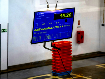
A working prototype. The format is open: a web or mobile app, an interactive data visualisation, an educational game, a storytelling piece. What matters is that by Sunday afternoon there's something ...
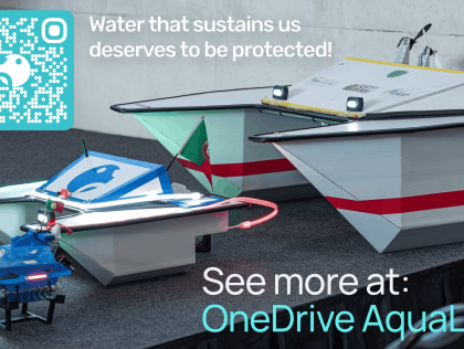
We will build a complete water quality monitoring system from scratch.
Over 48 hours, the team will:
(1) Assemble and integrate sensors (pH, temperature, turbidity, etc.) with ESP32 ...
Over 48 hours, the team will:
(1) Assemble and integrate sensors (pH, temperature, turbidity, etc.) with ESP32 ...
The challenge invites teams to develop creative models of circularity, nature-based solutions (like new biomaterials), traceability apps, or social businesses that value local waste-picker ...
The challenge seeks solutions to elevate the Bahian capital's response capacity to coastal vulnerabilities, engaging the population in self-defense and the planning of their own territory.
The challenge asks for proposals that structure "Fair Trade" networks, promoting the strengthening of ocean culture, heritage education, and traditional knowledge as instruments of sustainable ...
Proposals can include digital tools, gamified educational platforms, participatory methodologies for integration with nature, or communication and art strategies that expand engagement and the ...
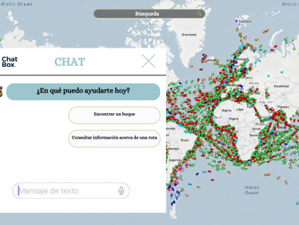
Santa Cruz de Tenerife
An interactive digital platform with API connections to different data sources.
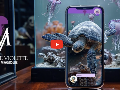
In 48 hours, we want to build the first version of the “Lola Data Pipeline”, combining:
– a small but well‑structured database (or set of CSV/GeoJSON files) describing real loggerhead turtle ...
– a small but well‑structured database (or set of CSV/GeoJSON files) describing real loggerhead turtle ...
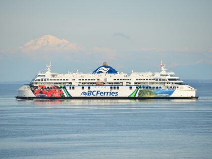
Victoria
A prototype application that could be displayed on a kiosk installed on BC Ferries routes, to educate and engage the public of all ages in ocean data, marine life, geography and climate local to the ...
Victoria
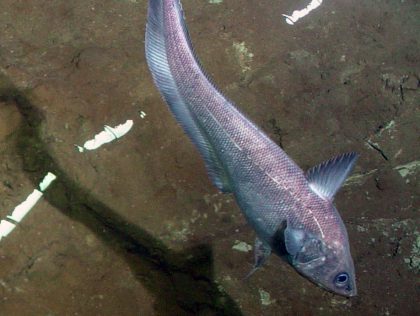
A classifier that can identify the species in an image, or produce a list of species sorted by likelihood of being a match, and report the lowest clade that contains the image can be classified as. ...
Victoria
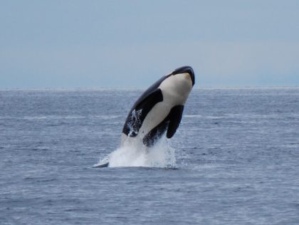
A classifier that can identify the species that produced a particular vocalization (based on either the spectrogram, audio, or both), or produce a list of potential species sorted by likelihood, and ...
Victoria
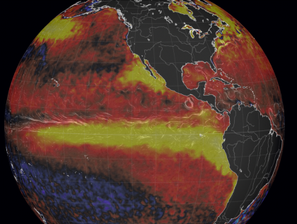
A webapp showing satellite sea surface temperatures, numerical weather forecasts and data from ocean observatories, with analysis comparing the present to past conditions. This should be clean, easy ...