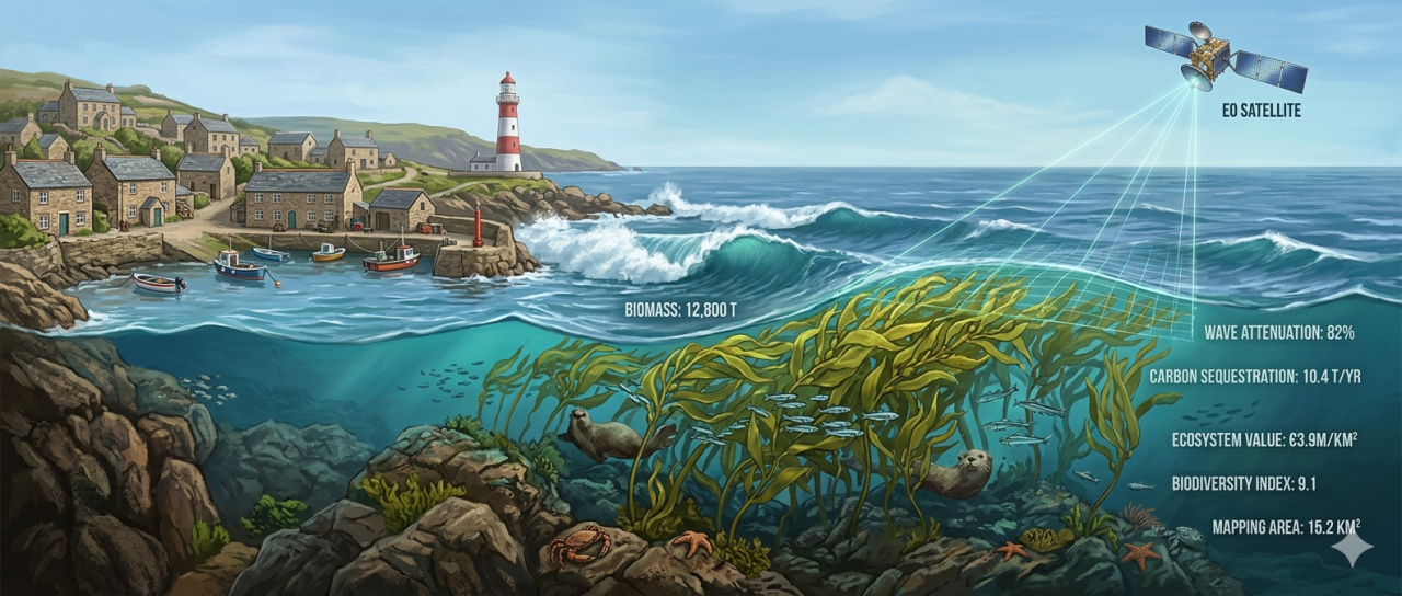
ORK02 Seeing the Invisible Shield: Valuing Coastal Habitats as Natural Infrastructure
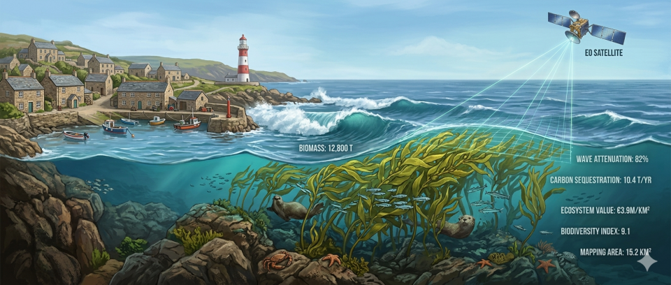
- AI-generated
Cork
- Individual
- Elif Gul Abdul Halim
Beneath the waves along our Atlantic coasts lies an invisible shield. Kelp forests, seagrass meadows and saltmarshes quietly protect our shores from storms and erosion, while sheltering hundreds of marine species. Yet these natural defences are vanishing — and because we cannot see them, we fail to protect them. Our challenge: build a tool that makes the invisible visible. Using open satellite data (Sentinel-2, Copernicus) and Irish marine datasets (INFOMAR, Marine Institute), we will map coastal habitats around Cork, track their decline, and — for the first time — put a value on what they protect. How much coastal defence does a kelp forest really provide? What would it cost to replace it with concrete? In 48 hours we will prototype a map-based system that turns living ecosystems into measurable natural infrastructure: biodiversity value, coastal protection value in euros, and restoration priorities, all in one view. We need teammates who love data, maps and the ocean: data scientists, GIS and remote-sensing enthusiasts, coders, designers, and anyone curious about marine ecology. No marine background required — just curiosity and energy. Let’s give nature’s hidden defenders the recognition, and the value, they deserve.
You want to joint the team:
- What the challenge owner would like to develop over 48h
- An interactive web-based mapping tool, powered by a valuation algorithm.
Over the 48 hours we will build a working prototype that:
1. Detects and maps a coastal kelp habitat in a selected Cork coastal area, using open satellite data (Sentinel-2) and Irish marine datasets;
2. Assesses its condition and decline risk using sea-surface temperature and wave data (Copernicus Marine);
3. Calculates and displays, directly on the map, the habitat’s value as natural infrastructure — its coastal protection value (in euros), biodiversity score, and restoration priority.
The result is a clickable map where selecting a habitat area instantly reveals what it protects and what it is worth. Kelp in Cork is our demo case, but the underlying engine is designed to work for other coastal habitats (seagrass, saltmarsh) and other Atlantic locations.
The coastal-protection value produced in 48 hours will be a transparent, simplified parametric estimate (based on published wave-attenuation and replacement-cost methods), not a full hydrodynamic model. The interactive map, habitat detection, biodiversity score and euro-value output remain as described. The engine is location-agnostic; only its calibration and validation are local, so it is designed to transfer to other Atlantic sites and habitats.
- Which skills the challenge owner is looking for
- • GIS / remote sensing specialist or geomatics engineer (working with Sentinel-2, mapping habitats)
• Marine biologist / ecologist (kelp and coastal habitat ecology, biodiversity validation)
• Oceanographer or coastal engineer (wave attenuation and coastal protection modelling)
• Environmental economist / socio-economist (valuing ecosystems as natural infrastructure, in euros)
• Front-end / full-stack developer and UI designer (interactive map, demo)