ORK01 - Coastal Runoff Watch Ireland: Tracking Coastal Runoff and Water Quality
- ChatGPT
Cork
- Individual
- Jack Bourke-McKenna
When heavy rain falls after slurry-spreading or fertiliser periods, where does that runoff go — and can we see its impact on Ireland’s rivers, estuaries, and coastal waters? This challenge aims to build an interactive map/dashboard that connects satellite imagery, rainfall, water-quality testing, and marine data to help visualise possible runoff patterns over time.
One possible case study is the River Glyde and Dundalk Bay. The recent River Glyde pollution incident, which resulted in the deaths of more than 20,000 fish, could be used to demonstrate how an inland pollution event may be examined downstream towards an estuary and coastal monitoring area.You want to joint the team:
- What the challenge owner would like to develop over 48h
- Over the 48 hours, the aim would be to build a simple interactive website with a map that combines selected environmental layers, such as rainfall, river, satellite observations, water-quality indicators and sensitive coastal areas. Using the River Glyde and Dundalk Bay as a possible case study, the prototype would explore whether overlapping data can help highlight potential runoff-risk or environmental problem zones from land to coast.
- Which skills the challenge owner is looking for
- Data analysis, marine science, oceanography, environmental science, hydrology, water-quality monitoring, and Earth observation / satellite imagery.
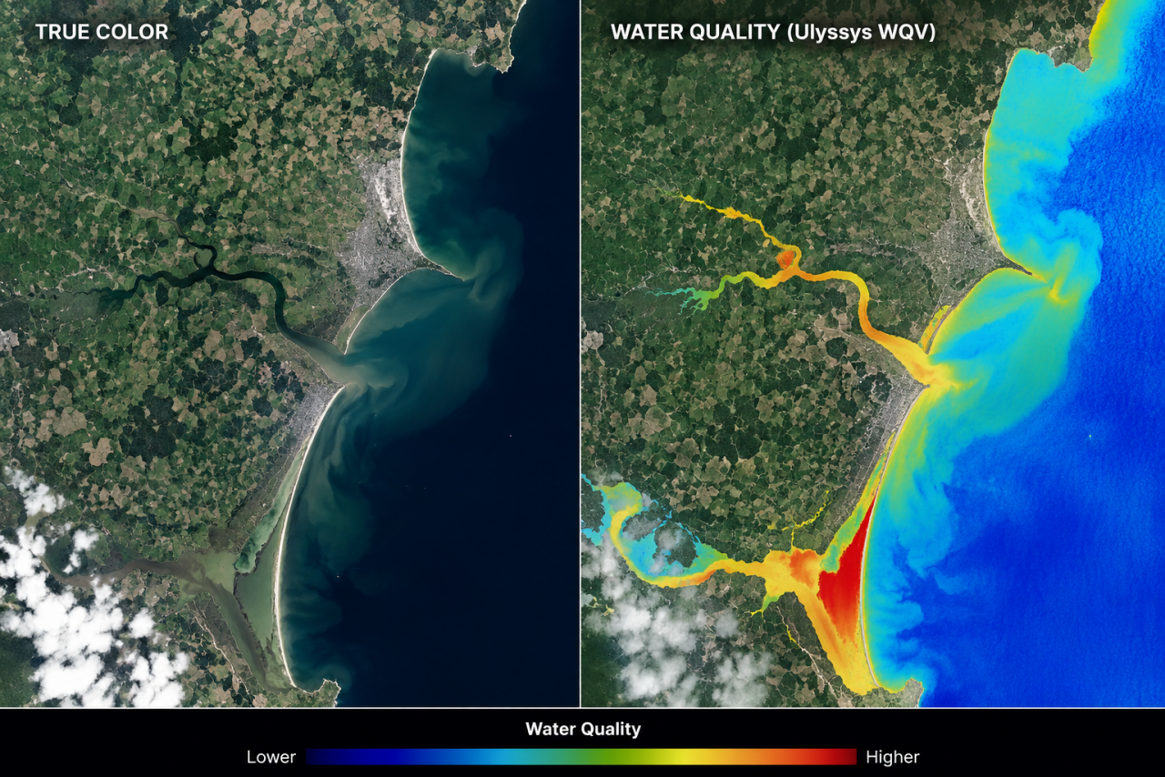
A special interest in people who can help interpret indicators such as nitrates, phosphates, chlorophyll, sediment, turbidity, rainfall, and runoff, and who understand Sentinel-2 / Sentinel-3 data or tools such as the Ulyssys Water Quality Viewer.