ORK04 - GroundingZero: An Under Keel Clearance Risk Map for Grounding Prevention
- Pixabay
Cork
- Individual
- Natasya Habibah
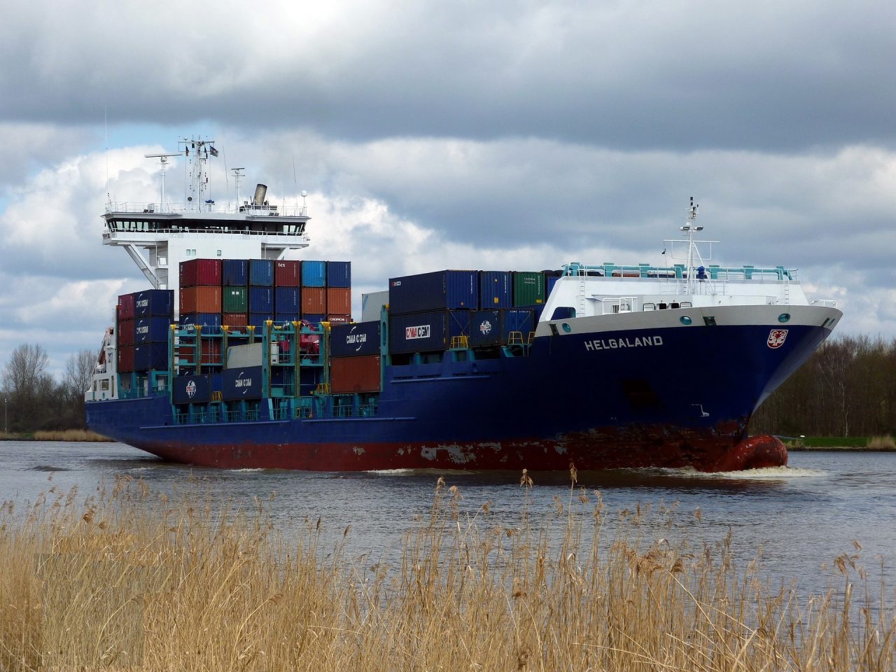
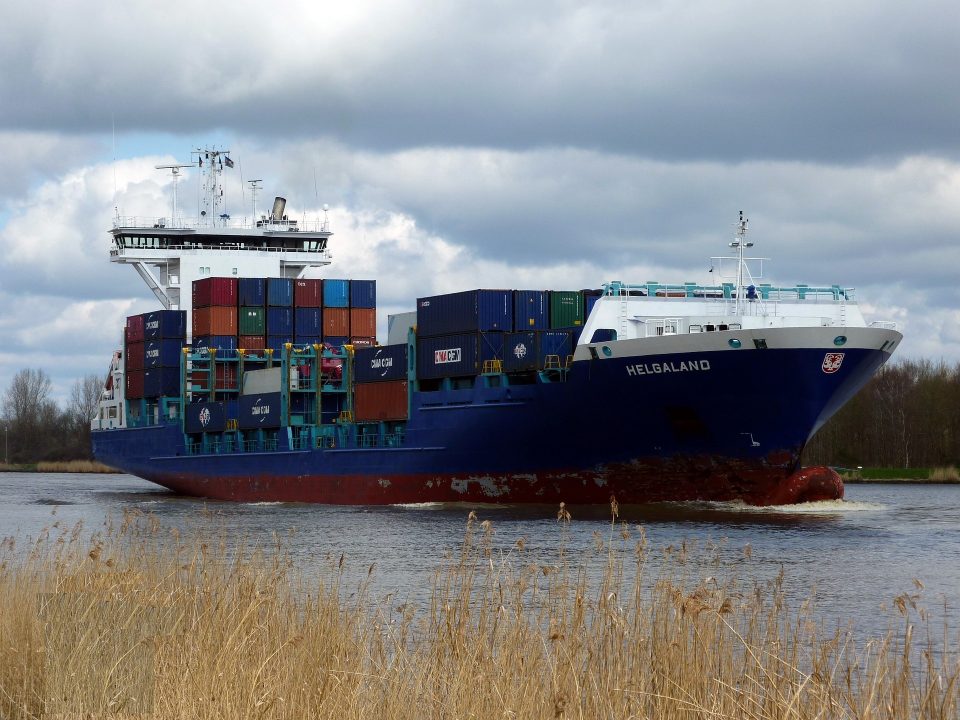
In March 2021, the container ship Ever Given got stuck in the Suez Canal and blocked one of the world’s busiest trade routes for six days. One reason for this was the shallow-water effect, which often happens in narrow waterways and can cause ships to run aground. In hydrodynamics, this effect is related to Under Keel Clearance (UKC), which is the ratio of the ship’s draft (the height of the part underwater, called T) to the water depth (h). UKC is usually shown as a percentage using the formula: (h-T)/T * 100%. The shallow water effect happens when the UKC drops below 50%. The challenge is that the shape of the seabed changes as the ship moves. This is especially relevant in the Cork coastal and waterways area, where water depths are quite shallow, and traffic is high.
Our proposed solution is an interactive UKC risk map that combines bathymetric data with vessel draft information from AIS or user-provided inputs. The map visualizes areas as safe, cautionary, or high-risk based on calculated UKC values, allowing users to explore how grounding risk varies for different vessels across the waterway. The map serves as an intuitive decision-support and planning tool that makes UKC information accessible and easy to interpret, so it can inform a ship’s captain to take steps such as slowing down when the ship is at high risk of encountering shallow-water effects and prevent incidents like groundings.
You want to joint the team:
- What the challenge owner would like to develop over 48h
- An interactive UKC risk map that combines bathymetric data with vessel draft information to visualize grounding risk especially in shallow waters, helping users identify safe and hazardous areas for navigation.
- Which skills the challenge owner is looking for
- Marine/Ship engineer, data scientist, IT, oceanographer, graphic designer, UI/UX designer & web developer