VIC05 - Wave Glider Mission Control
- Ocean Networks Canada Society
Victoria
- Organisation
- Ocean Networks Canada
- Madeleine Ridgway
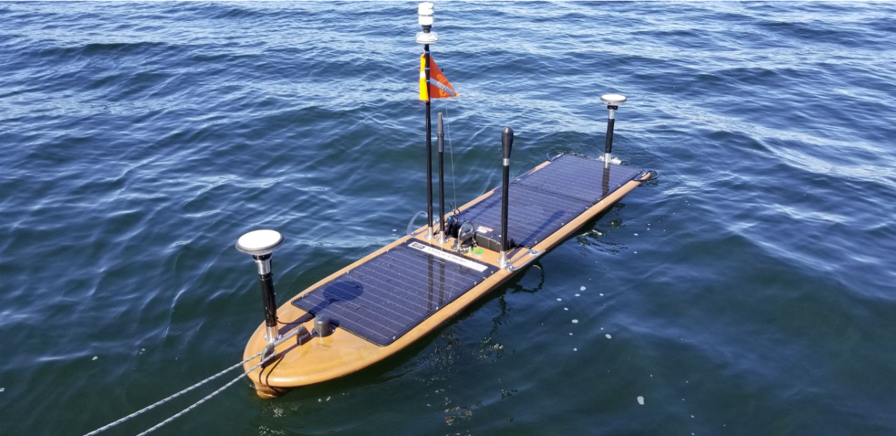
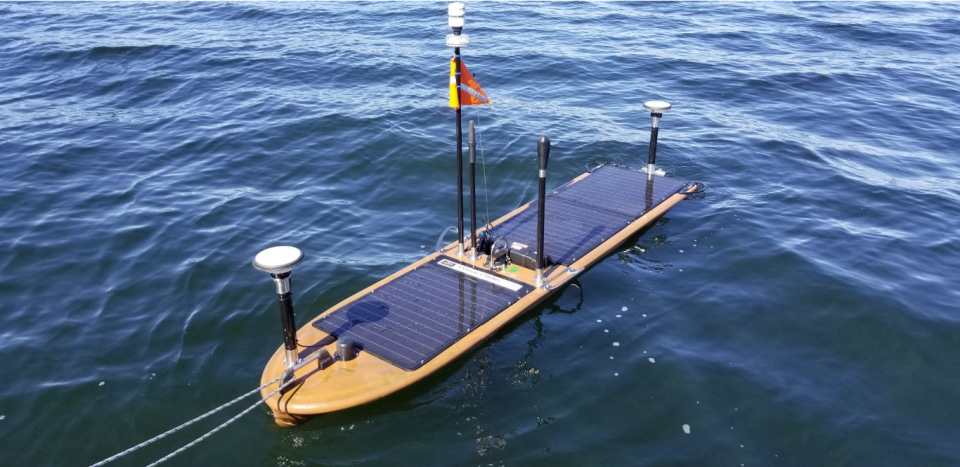
Meteorologists, ecologists, seismologists, military, and all types of oceanographers use wave gliders to gather ocean data. These uncrewed, autonomous vessels are powered by wave motion, and equipped with transmitters and GPS to tackle extended autonomous missions at sea. But challenges can arise: rough weather, strong winds, unpredictable currents and more can hinder a wave glider’s progress. This challenge is to develop an application to help monitor and plan wave glider missions, doing tasks like estimating travel time based on weather forecasts, planning paths, and updating in real time based on transmissions from the glider itself.
You want to participate:
- What the challenge owner would like to develop over 48h
- An application that could be used to control a wave glider, including an interactive map of the glider’s historical and planned paths, integration with weather forecasts, and predictions for path and travel times between objectives based on weather and ocean conditions. The goal is to combine the wave glider’s location with map data, satellite data and numerical weather forecasts of ocean conditions to improve monitoring and route planning.
- Which skills the challenge owner is looking for
- data analyst, GUI designer, mapping specialist, backend developer, spatial data specialist