TLN02 - SAR DRIFT: from search-and-rescue to ocean protection, one drift engine, many lives saved
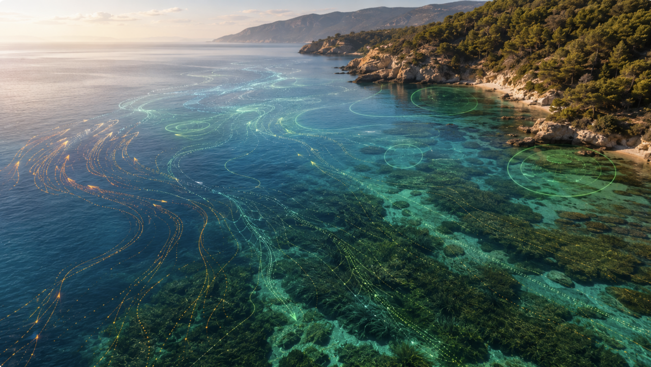
- AI generated, GSH team
Toulon
- Organisation
- Global SAR Hub
- Arthur Barbier
Lost at sea? An hour matters. Oil spill? A day. Plastic pollution? A season. Same physics, different stakes. SAR DRIFT is a production-ready Monte Carlo platform that predicts where things drift at sea: people in distress, hydrocarbons, debris, larvae. Anything carried by currents, wind, and waves. Built for Rescue Coordination Centers, fed by Copernicus Marine open data, deployed and running. The challenge: take this engine and prove it can serve a market beyond human search-and-rescue. Pollution response, biodiversity monitoring, offshore wind safety, debris tracking, larval connectivity. You pick the angle that excites you, we provide the foundation and the data. In 48 hours, your team will identify a real problem and its end users, build a working prototype on the SAR DRIFT base, plug open ocean datasets (CMEMS, EMODnet, AIS), and defend a first business model (target, value, partners). We bring production code, API access, technical mentoring, and warm introductions to Mediterranean maritime stakeholders. You bring curiosity for the sea, a taste for fast prototyping, and a sense of impact. We are looking for a mix of developers, data scientists, oceanographers, designers, and business minds. The richer the mix, the better the pitch. Same engine, many lives saved. Let's pick the next one.
You want to join the team:
- What the challenge owner would like to develop over 48h
- A working prototype module integrated on top of the existing SAR DRIFT platform: a new drift simulation use case chosen by the team (pollution response, biodiversity monitoring, debris tracking, offshore wind safety, or any other ocean drift application).
Concretely, the team will deliver:
. A functional algorithm extending the Monte Carlo drift engine with use case specific parameters (leeway coefficients, decay or evaporation models, ecological zones, anchoring constraints, etc.)
. An interactive web interface (map, timeline, drift visualization) reusing the SAR DRIFT design system, so the prototype looks production grade from day one
. A real connection to open ocean datasets (Copernicus Marine, EMODnet, AIS, or any other public API relevant to the chosen use case)
. A demo scenario based on a realistic case: a real incident, a real protected area, a real spill, a real offshore site
. A first business model canvas: target customer, value proposition, partners, pricing hypothesis
At the end of the 48 hours, the team presents a live demo running on the SAR DRIFT base, a short pitch deck under 5 slides, and a 3 month roadmap.
- Which skills the challenge owner is looking for
- IT developer
Data scientist or data engineer (open marine datasets, geospatial processing)
Oceanographer or physical oceanography enthusiast (drift physics, currents, wind, leeway)
UX or UI designer (cartographic visualization, dashboards, design system)
Business analyst or entrepreneur (business model canvas, value proposition, pricing)
Marine biologist or environmental scientist (if the team explores pollution, biodiversity, or debris tracking)
Geomatics or GIS engineer (geospatial layers, mapping conventions)