Cork
- Challenges in this city
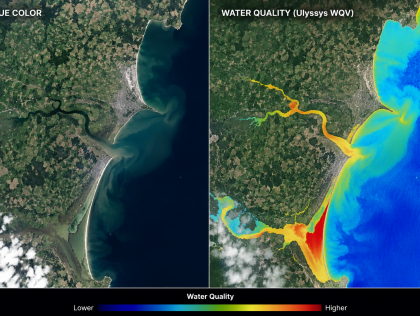
- Over the 48 hours, the aim would be to build a simple interactive website with a map that combines selected environmental layers, such as rainfall, river, satellite observations, water-quality ...An interactive web-based mapping tool, powered by a valuation algorithm.
Over the 48 hours we will build a working prototype that:
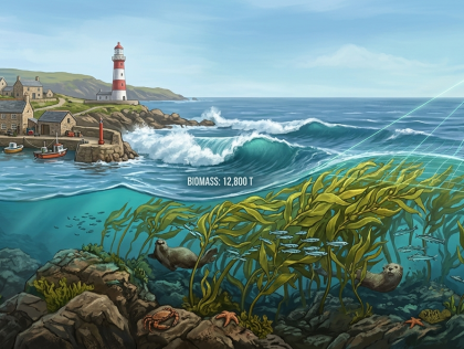
1. Detects and maps a coastal kelp habitat in a selected Cork ...An algorithm that can identify the impacts of climate change on phytoplankton communities and create predictions on this.An interactive UKC risk map that combines bathymetric data with vessel draft information to visualize grounding risk especially in shallow waters, helping users identify safe and hazardous areas for ...