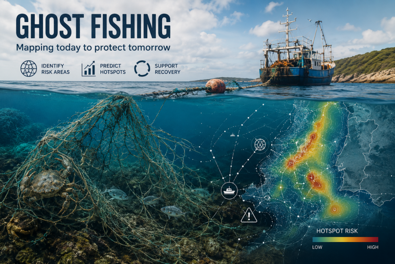
OLH02 - GhostNet: Mapping and preventing ghost fishing hotspots
- Made with the aid of Artificial Intelligence.
Olhão
- Organisation
- S2AQUAcoLAB
- Alexandra Marques
Every year, thousands of fishing nets, traps, lines and other fishing gears are lost or abandoned at sea. These "ghost gears" continue to catch marine organisms, damage sensitive habitats, contribute to marine litter and generate economic losses for fisheries. Despite increasing awareness of the problem, information on where ghost fishing gear is most likely to accumulate remains fragmented. Environmental conditions, fishing activity, seabed characteristics and oceanographic processes all influence the movement and persistence of lost gear in the marine environment. This challenge invites participants to develop an innovative digital solution capable of identifying, visualizing and predicting areas at higher risk of ghost gear accumulation. By combining environmental information, fishing activity data and spatial datasets, teams will create tools that support prevention, monitoring and recovery actions. The prototype may take the form of an interactive dashboard, risk map, decision-support platform or predictive model. The goal is to support sustainable fisheries, reduce marine litter and improve the effectiveness of gear recovery initiatives.
You want to join the team:
- What the challenge owner would like to develop over 48h
- Participants will develop a prototype digital solution capable of identifying, visualizing and predicting areas with a higher probability of ghost fishing gear accumulation.
Depending on the team's approach, the prototype may take the form of an interactive dashboard, spatial risk map, decision-support platform or predictive tool integrating environmental conditions, fisheries activity and marine spatial data.
The objective is to support prevention strategies, improve the efficiency of gear recovery operations and contribute to reducing marine litter and the impacts of ghost fishing on marine ecosystems.
- Which skills the challenge owner is looking for
- Fisheries specialists
Marine ecologists
Oceanographers
GIS specialists
Data analysts and data scientists
Software developers
Database specialists (SQL)
Python/R programmers
Marine spatial planning experts
UX/UI designers
Environmental managers