KUL06 - Blue Carbon Sentinel: Autonomous Swarm-to-Satellite Edge AI Mangrove Restoration Network
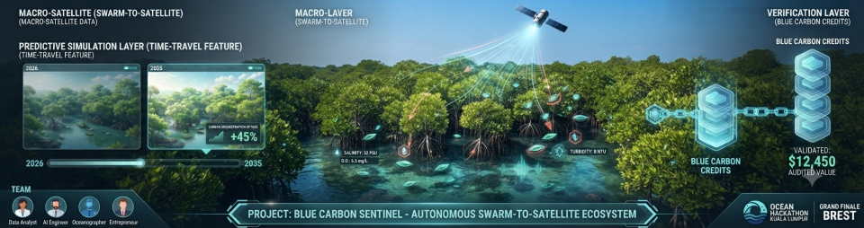
- Proprietary technical illustration designed for Project Blue Carbon Sentinel / Neos Development Global. (All distribution and usage rights held by the challenge owner).
Kuala Lumpur
- Individual
- Thiriidev Kumar Murlidaran
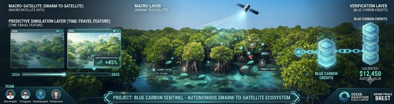
Blue Carbon Sentinel revolutionizes marine conservation by shifting from passive observation to an active, closed-loop autonomous system. While satellite data tracks macro-level mangrove canopy loss, it fails to capture the underwater realities—microplastics, precise dissolved oxygen, and localized soil salinity—that dictate sapling survival. This challenge builds an integrated "Swarm-to-Satellite" network. When satellite AI algorithms identify high-risk degradation zones in Malaysia's coastal lines, they trigger the deployment of low-cost, bio-inspired edge-AI surface monitors. These physical units ground-truth the environment, feeding micro-telemetry back into a hydrodynamic neural network. By combining macro-satellite multi-spectral imagery with micro-edge sensor fusion, the platform generates a high-fidelity "Digital Twin" of the ecosystem. This twin automatically verifies ecological health, unlocking programmatic, institutional-grade Blue Carbon smart contracts. This turns real-time marine preservation into an investable, self-funded, and highly scalable technological asset.
- What the challenge owner would like to develop over 48h
- Over the 48-hour hackathon, our team will develop a working Digital Twin MVP (Minimum Viable Product) consisting of three core technical components:
The Predictive Data Engine (Backend & Algorithm): An API pipeline built with FastAPI that ingests open-source Copernicus Sentinel-2 multispectral data to calculate historical and live Normalized Difference Vegetation Index (NDVI) values for canopy health. This will be paired with a machine learning time-series regression model (using Python/scikit-learn) to simulate the "time-travel" predictive forecasting layer for coastal erosion and carbon sequestration up to 10 years into the future.
The Hardware/Edge Simulator Layer: A hardware telemetry simulation using an embedded microcontroller architecture (simulated via an Arduino/Raspberry Pi environment) that replicates live sensor fusion. It will broadcast synthetic edge-data packets—specifically mapping localized water salinity, turbidity, and dissolved oxygen—to mimic the ground-truthing swarm units.
The Interactive Command Center (Frontend UI): A dynamic, highly visual web application built with React.js and Mapbox GL. This dashboard will feature an interactive 3D geospatial map allowing users to toggle between satellite macro-data overlays, live edge-sensor telemetry pins, a predictive slider to visualize future ecosystem health, and a mock automated ledger interface demonstrating programmatic Blue Carbon credit validation.
- Which skills the challenge owner is looking for
- Mechatronics Engineer, Software Engineer , AI Engineer, Data analyst