VIC04 - Pacific Ocean Explorer: Reimagining Tools for Area Based Management
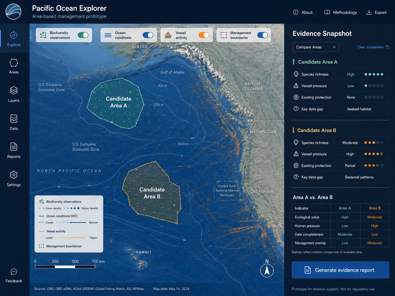
- Concept illustration by Ocean Agentics via ChatGPT, 2026.
Victoria
- Organisation
- Ocean Agentics
- Aaron Roan
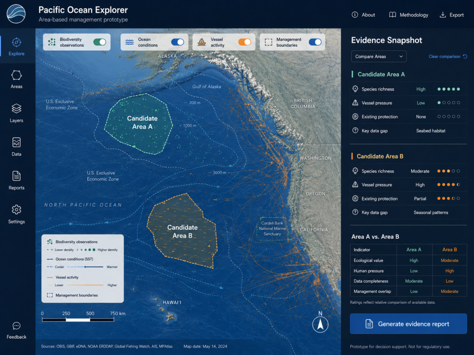
Marine planners, researchers, and coastal practitioners often need to decide which ocean areas should be protected, monitored more closely, or managed differently. But the information needed to make those decisions, such as species observations, ocean conditions, human activity at sea, and existing management boundaries, is often scattered across datasets that are hard to combine and interpret quickly. Our challenge is to build Pacific Ocean Explorer, a prototype map-based tool that helps users investigate a marine area and quickly generate an evidence snapshot. Over 48 hours, the team would create a simple interactive prototype that allows a user to select an ocean area, view a small set of relevant data layers, and produce a short summary of why that area matters, what pressures it faces, and what information is still missing. The prototype could combine datasets such as biodiversity observations, ocean conditions, vessel/fishing activity, and management boundaries into one clear view. It could also allow users to compare two areas side by side and highlight differences in ecological value, human pressure, and available evidence. Victoria is a strong host site given the local site brings together expertise in ocean observation, marine data, and applied marine innovation through COAST and Ocean Networks Canada. The challenge is designed as a practical first step toward better tools to turn marine data into usable evidence for protection, monitoring, and area-based management.
- What the challenge owner would like to develop over 48h
- Over 48 hours, we want to build a simple map-based prototype that helps users explore an ocean area and generate a quick evidence snapshot using publicly available marine datasets. A user would be able to select one or two marine areas, view a few relevant data layers, and see a short summary of why the area matters, what pressures it faces, and what information is still missing. The goal is to create a clear, practical demo that shows how open ocean data can support protection, monitoring, and area-based management discussions.
- Which skills the challenge owner is looking for
- Data analyst, UX/UI developer, Geomatics engineer, Oceanographer/ Marine Scientist, Marine planner / ocean policy specialist