SCT05 - Advancing high resolution satellite imaging for low-density Sargassum detection
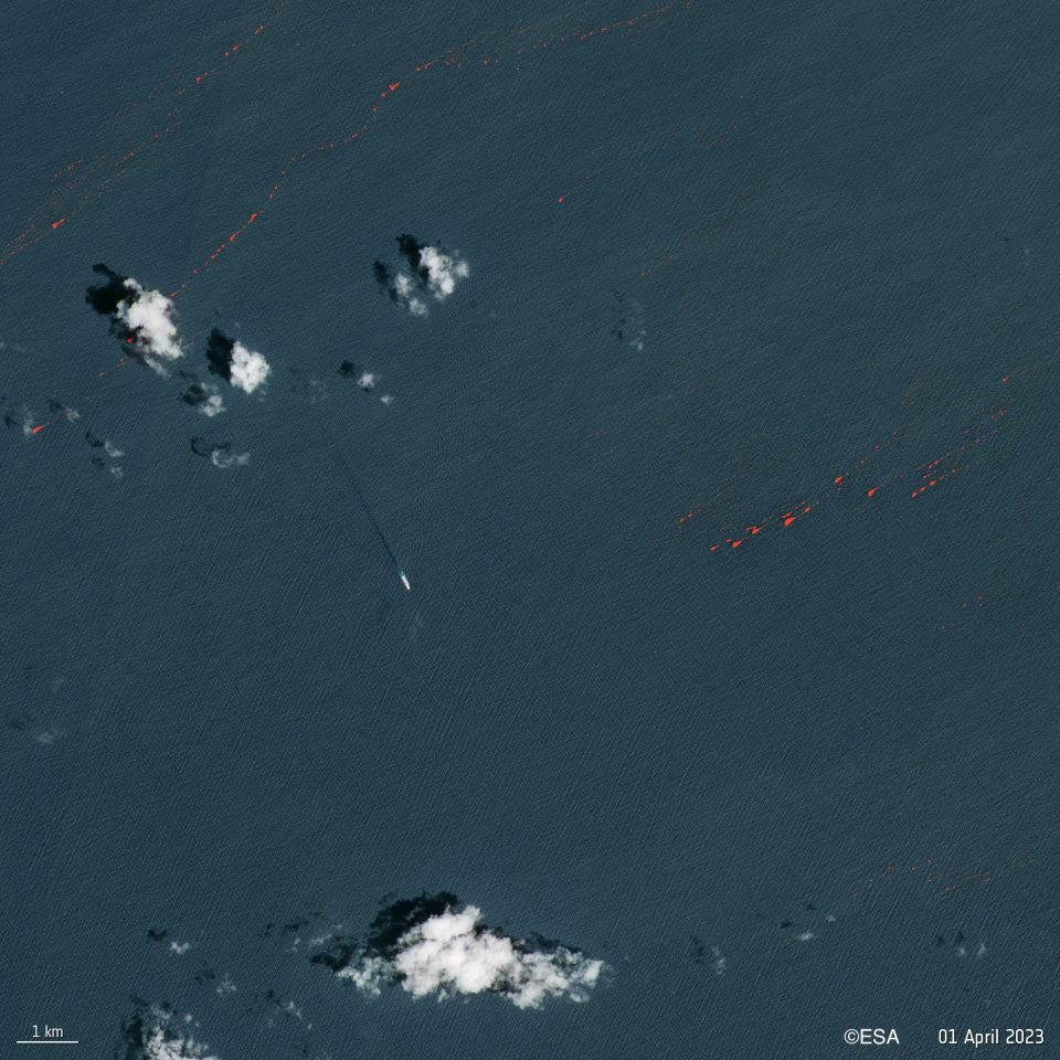
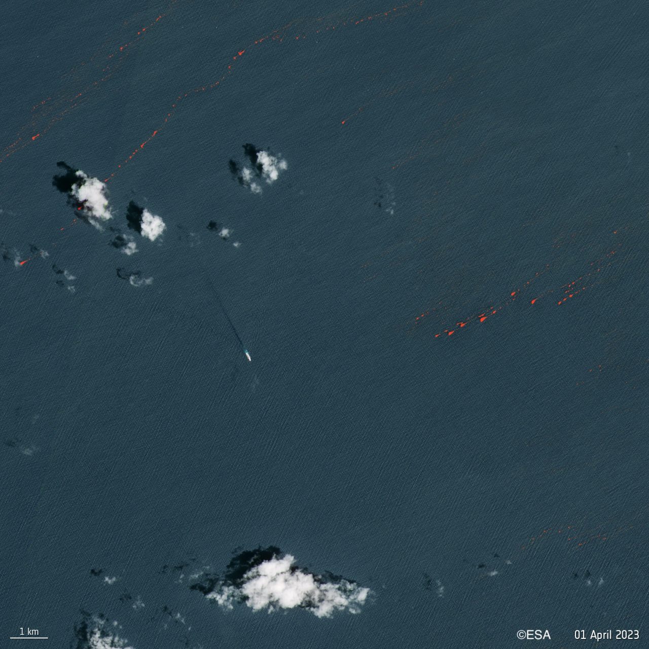
- European Space Agency (©ESA)
Santa Cruz de Tenerife
- Organisation
- MacroCarbon
- Joaquin Ortiz Cortes
Sargassum is a floating seaweed that can form immense mats thousands of square meters in size and represents an important habitat for many associated animals. Since 2011, a breakout population established itself in the equatorial Atlantic, leading to explosive blooms as the seaweed drifts towards the Caribbean, as well as west African countries. As valuable as it is in the ocean, Sargassum turns problematic when it beaches, rots, and releases toxic gases that damage the underlying ecosystem and local communities. As such, efforts to detect and predict it's movements have increased. Satellite imagery has been used to develop various models for Sargassum detection (such as the Floating Algae Index). Many are also taking steps towards the valorisation of the biomass, so that large scale prevention of beaching becomes economically viable. In the Macaronesia region Sargassum is a regular, but less abundant sight. The mats are often smaller (1-10 m2), but nonetheless numerous.
The Challenge we propose is about finding a way to push the boundary on the currently insufficient detection limits. The best available detection tools provide a resolution of 20m and are often prone to falsified values by Saharan dust, Trichodesmium blooms and clouds. How can this be refined within the technical limits set by the satellite hardware? Is it possible to improve spatial resolution, minimize error rates, or even both? This would be invaluable for detection, tracking, and management efforts worldwide.
- What the challenge owner would like to develop over 48h
- Algorithm for data analysis
- Which skills the challenge owner is looking for
- Data analysis, coding, Remote sensing technology