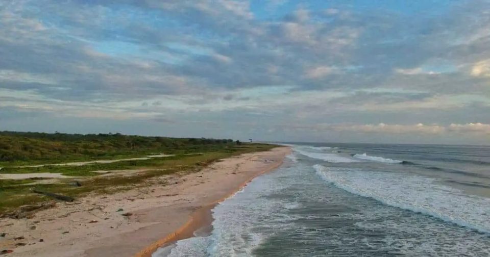
PTN04: Smart Monitoring of Coastal Erosion in Pointe-Noire, Congo.
- Omotayo Edubi
Pointe Noire
- Organisation
- Yamify
- Luc Ibata-Okalobe
- Pointe-Noire faces growing coastal erosion, threatening homes, infrastructure, and ecosystems. Current monitoring is limited and reactive.Your mission is to create a simple, digital solution to monitor and visualize shoreline changes in real time and help communities respond. Objective: Design and prototype a digital solution to monitor coastal erosion in Pointe-Noire with the aim to:• Collect accurate and timely data (satellite, drone, sensors, local reports)• Visualize shoreline changes over time • Alert authorities and communities of erosion risks• Inform policy and promote sustainable coastal management What You Can Build• A live map or dashboard showing erosion trends• A prediction model using satellite or drone data• A community reporting app (SMS, mobile, or web)• An early warning system for at-risk areas
- What the challenge owner would like to develop over 48h
- • A live map or dashboard showing erosion trends
• A prediction model using satellite or drone data
• A community reporting app (SMS, mobile, or web)
• An early warning system for at-risk areas
- Which skills the challenge owner is looking for
- Developer, data analyst


