Toulon
- Challenges in this city
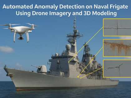
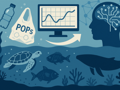
- Tool that detects and anticipates pollution in the port, tracking its progress and triggering clean-up operationsA tool for monitoring consumption and assessing pollution avoidedDevelop a prototype solution that automatically analyzes drone-collected imagery and the associated 3D model to detect anomalies such as cracks, corrosion, deformations, or missing parts on the ...Create database and model to predict the behavior of these pollutants and their impact with AI
- To respond to a major social or environmental problem
- Contributing to innovation in the ...Create a sensor to monitor air quality at sea, in connection with maritime traffic
- To respond to a major social or environmental problem
- Contributing to innovation in the maritime sector
-... A digital or interactive tool based on a map or a multi-drones navigation algorithm to visualize drone positioning following a reorganization when communication is lostCreate an open data platform that centralizes marine pollution data, enables participatory data collection, offers real-time interactive visualization, and models dispersion trajectories.
Toulon
A predictive model that can avoid seasonal collisions while minimizing carrier costs
