EUMETSAT: questions to Hayley Evers-King and Gwenaël Le Bras
- Sea ice, ocean winds, sea surface temperature and height, waves, ocean colour...: data available through the European Organisation for the Exploitation of Meteorological Satellites (EUMETSAT) and its Ocean and Sea Ice Satellite Application Facility (OSI SAF). As a new data and service provider for Ocean Hackathon® 2025, EUMETSAT is presented by Hayley Evers-King, Lead Marine Applications Expert, alongside Gwenaël from Météo-France, responsible for communication and outreach for OSI SAF.
Dr. Hayley Evers-King, you’re EUMETSAT’s Lead Marine Applications Expert. Could you tell us a bit about your background and what you do?
I’m a marine scientist by training - a lot of my past work involved using satellite data for different societally relevant applications. I worked on supporting sustainable aquaculture, coastal water quality, understanding the oceans' role in climate change, and many other topics. At EUMETSAT, I now help others to do the same - coordinating our user engagement and training activities for the marine data streams from the satellites we operate. It’s a very diverse job. Within a week I could be writing a technical user guide, arranging a workshop with users, developing Python coding tools, or taking part in a podcast!

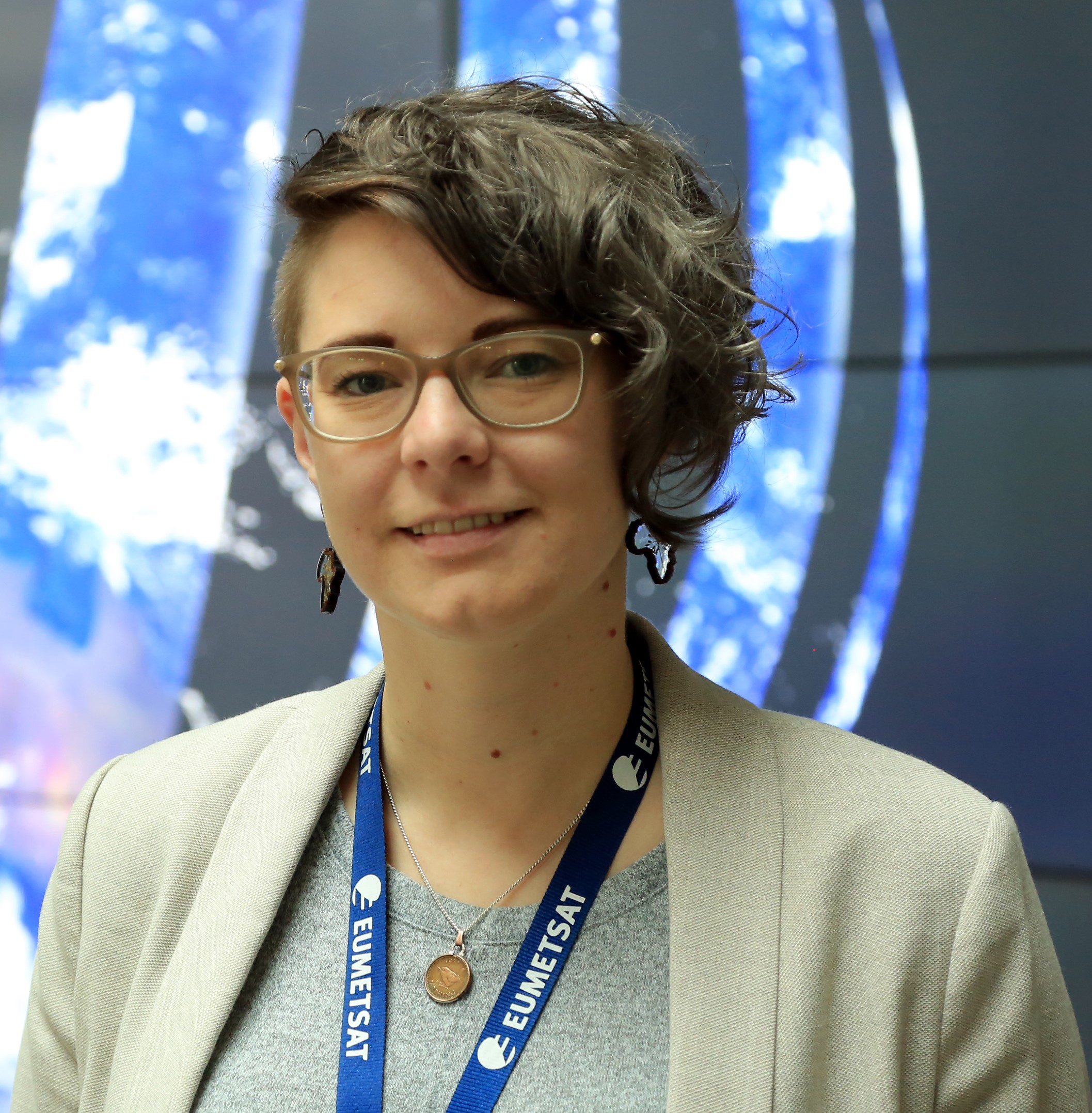
Hayley Evers-King. Credit: EUMETSAT Gwenaël Le Bras, you handle communication and outreach for OSI SAF at Météo-France. Can you briefly introduce yourself as well?
I’m in charge of the relations between OSI SAF and its users: giving them information about our products' status, helping them use it, training them, making potential users aware that our products exist. And then, quite surprisingly, one of my most difficult tasks is to understand who is using our data and for what usages: we are distributing open data, and as such, we are not aware of all the usages done from our data. Of course for all that matters, I’m working hand in hand with Hayley’s team.

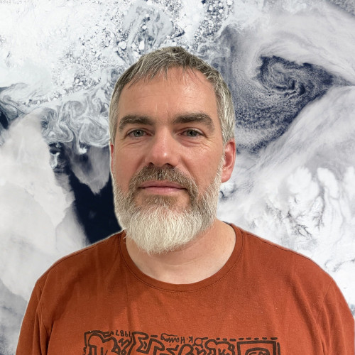
Gwenaël Le Bras. Credit: EUMETSAT Many people in our community might not be very familiar with the different national and international organizations you work with. To start, could you tell us what EUMETSAT and OSI SAF actually are?
The European Organisation for the Exploitation of Meteorological Satellites (EUMETSAT) is an international organisation dedicated to operating Europe’s weather satellites. As such it produces key data for Meteorology, and for Climate studies. EUMETSAT is also an entrusted entity of the Copernicus programme, operating satellites for the European commission in the domains of marine and atmospheric composition.
OSI SAF is basically a part of EUMETSAT. EUMETSAT delegates part of its production to 8 consortia of specialised institutions within its Member States, depending on each institute's particular expertise. These consortia are named Satellite Application Facilities (SAF). OSI SAF is the Ocean and Sea Ice SAF, producing data about Ocean Winds, Sea Surface Temperature and Sea Ice. Additionally to its expertise in Sea Surface Temperature, Météo-France is the leading institute of OSI SAF.
In France, there are two local editions of Ocean Hackathon. How do EUMETSAT and Météo-France work together in that context?
Météo-France’s OSI SAF team is based in the Satellite Meteorology Facilities of Lannion. It is then very easy for Gwenaël to attend the Brest venue of the Ocean Hackathon as local data coach. Concerning the one in Toulon, both the EUMETSAT and Météo-France team will be available online, as for the 9 other local editions worldwide.
Ocean Hackathon is also taking place in cities all around the world. Do you collaborate with meteorological institutes in those countries as well?
EUMETSAT has 30 member states across Europe, with whom we work with. We also work through networks such as those developed under the World Meteorological Organisation, and the EU Copernicus programme. This means that we have some level of interaction with most countries!
This year, you’re coming on board as a global data partner for Ocean Hackathon®. What kind of resources, tools, and data will you be making available to the teams?
We provide a lot of expertise to guide people through the existing EUMETSAT and Copernicus Marine catalogues. A lot of different technologies are used in remote sensing, each having its particularities. This allows us to produce a wide range of data on many parameters. Moreover, our different users have particular needs that we adapt to, in order to provide them with the best possible service. Consequently our catalogues are full of products that may seem similar to a novice eye, but that are however very different. Depending on each use -each project needs- one product will be more adapted than another. We are going to help the teams find their way to the main European Satellite data catalogues.
We also have a growing array of Python based tools and tutorials, that can help the teams to quickly get access to our data and work with it. The notebooks cover all the data streams, and many different applications, showing examples of visualisation and analysis.Since the hackathon teams will be based all over the world, they’ll need data relevant to their local marine areas. Can you tell us about the geographical coverage of the data you’re providing?
As being European Institutions, some of our products are dedicated to the North Atlantic and Mediterranean regions. Our geostationary products cover areas included in 60°N-60°S / 135°W-101°E. We also have a number of products specific about Polar studies (in particular our Sea-Ice and Ice Temperature catalogues). However an important part of our products are global, since our low orbiting satellites cover the whole Earth twice a day.
Finally, beyond Ocean Hackathon®, is there any news or upcoming events you’d like to share with us?
Check out trainingevents.eumetsat.int for all upcoming events!
We will be conducting training alongside the International Ocean Colour Science Meeting 2025. Also each year, we are conducting a 4 week long, online training course “EUMETSAT Supporting Marine Earth Observation Applications (SMA)”. (Exact date TBC February-March 2026).
- Published on 09/01/2025


