Discover the 14 projects in the Ocean Hackathon® International Grand Finale
- At the end of a weekend of teamwork, 14 teams were selected to take part in the Ocean Hackathon® International Grand Finale, each representing their city. Discover the projects and take part in the International Grand Finale on 19 December in Brest or online (link available at the end of the news).
Innovative projects from all over the world
The innovative solutions developed at the 8th Ocean Hackathon® are often linked to local issues and can be a source of inspiration. Find out more about the winning projects from each city, who will be coming together in Brest for the International Grand Finale.
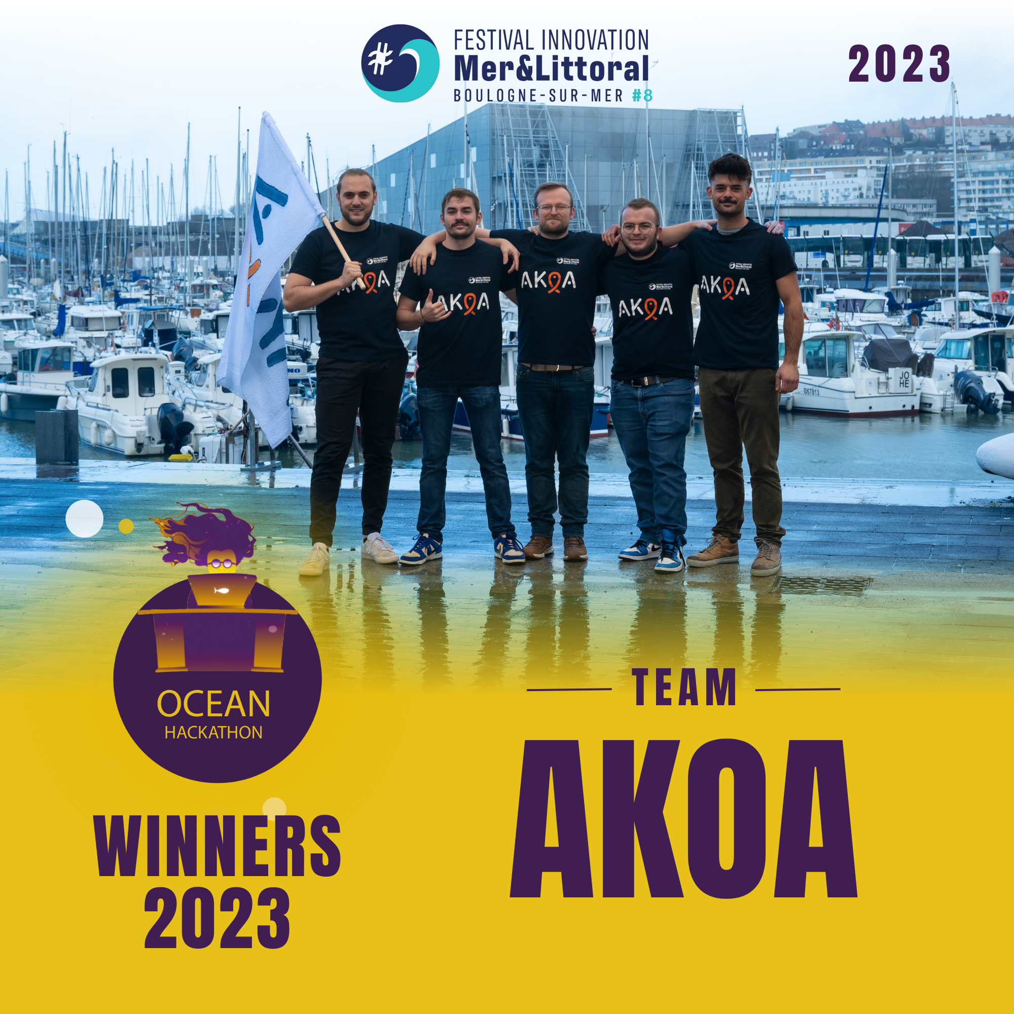
Boulogne-sur-mer (FR) : Creation of an application to take part in a collective global effort based on challenges and concrete actions in favour of the ocean (BOL09)
Led by: Guillaume Lheureux - Nausicaà
At the end of the weekend, the AKOA team proposed an educational and participatory app that would put organisers of ocean-friendly events (conferences, waste collection, etc.) in touch with people who might be interested. The team presented a stripped-down beta of the application, as well as a presentation outlining its design and operation. Finally, the team presented its business model and strategy.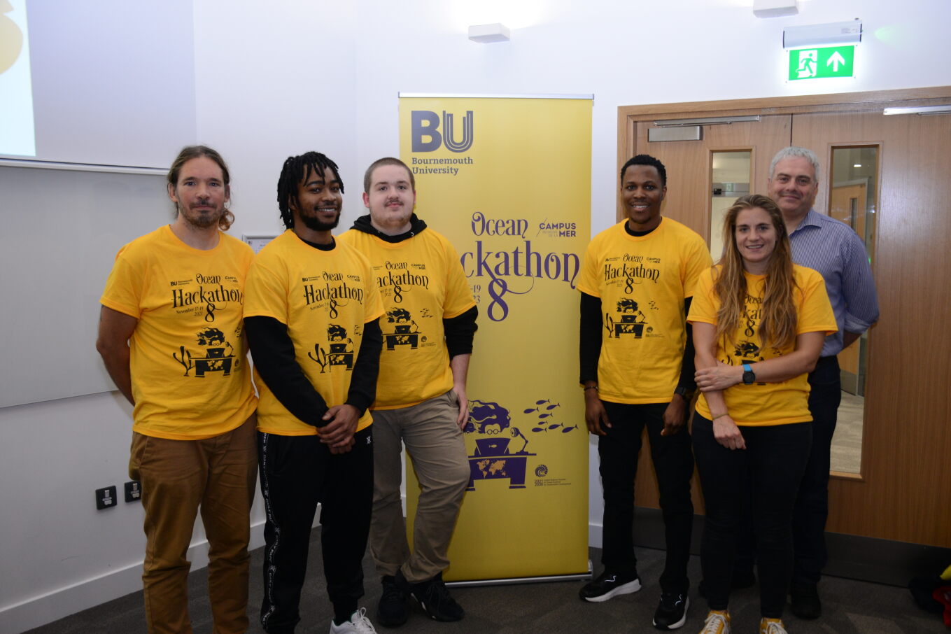
Bournemouth (UK) : Marine Life Tech Explorer Challenge (BOR07)
Led by: Chris Courage - Arts University Bournemouth
The challenge produced three interlinked prototypes: (1) A low cost camera, based on a raspberry pi framework which can store video and stream this when on the water surface; (2) An AI fish detection system to identify fish in recorded images and; (3) A participatory app to identify fish to species level, linked to AI which will ultimately identify species of fish in real time.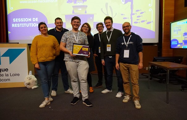
Brest (FR) : Rés‘eau de PlaIA (BRE09)
Led by: Thibaud Idoux
In order to guarantee and improve the quality of bathing water, and to prevent environmental pollution in general, the aim of this project is to manage wastewater networks more effectively. Achievements: (1) A policy for the management of sensors and attached data ; (2) A better understanding of overflow phenomena ; (3) Prediction of overflows using machine learning tools.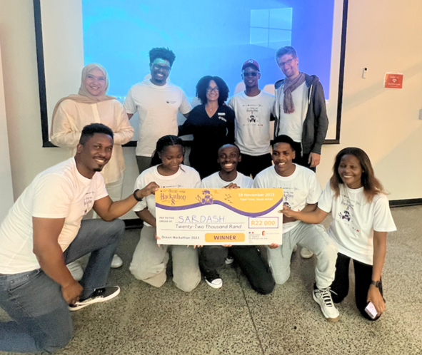
Cape Town (SA): Prediction of the sardine run and associated predator movement using image processing and environmental parameters (CAP02)
Led by: Maryke Musson, Mark Addison, Nikhiel Singh (SAAMBR)
The team developed a time series algorithm to predict the sardine run for tourists and communities. This is the first of its kind. They developed a web-based platform, working model and interface.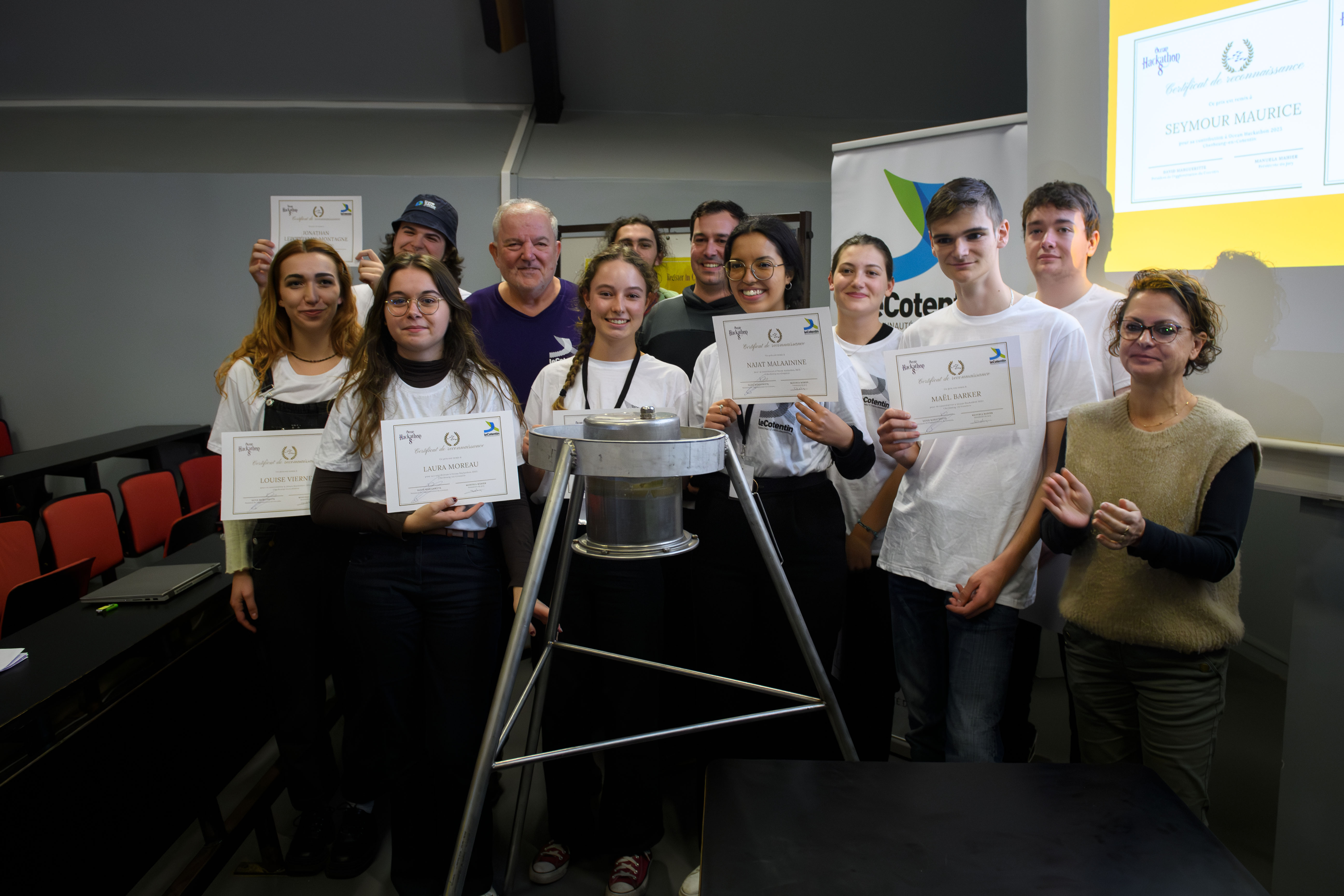
Cherbourg (FR) : Imaging at the Heart of the Marine Environment (CHE03)
Led by: Yann Méar
The goal of this project is to observe the evolution of the seabed in the context of climate change and to raise public awareness by offering citizens a new way to see the marine environment. Thanks to the app “LittoPhoto”, it’s possible to capture underwater images using a photography device placed in a waterproof housing. These images are transmitted via an antenna placed on a buoy on the surface and arrive directly on the app. Users can see them live and choose to archive them in a database as well as external data such as tide, meteorological and wave data.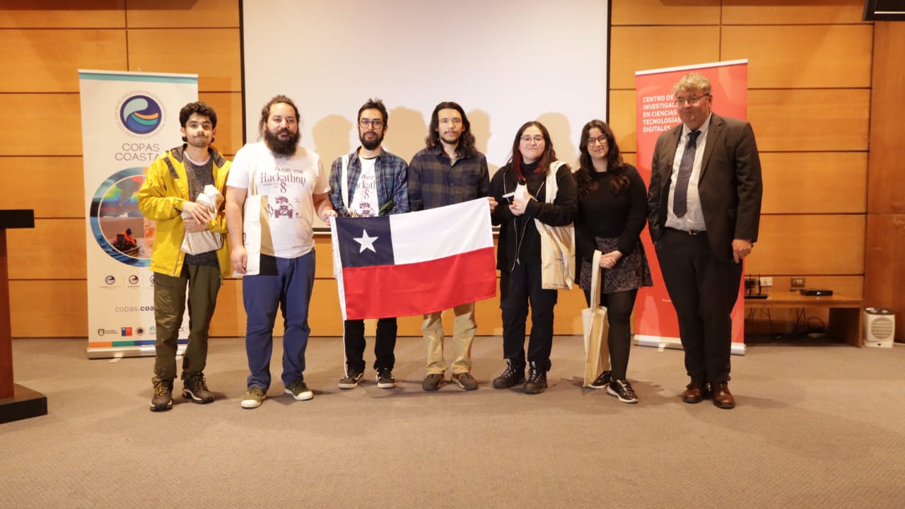
Concepción (CH) : License to krill: an IA biogeophysical model to manage krill ecosystems (CON04)
Led by: Cristian Cofré
The project is a machine learning model to predict krill volume in the Antarctic area to avoid targeted exploitation in the 48.1 sub-area. The team was able to develop a prototype that allowed them to establish the abundance and geolocation of krill in the area of the elephant islands, obtaining results with a 15% error rate. The team was able to test 5 machine learning models and after comparing their results, they chose the best one. They also implemented a prototype of a web app that they hope to improve with the passing of time.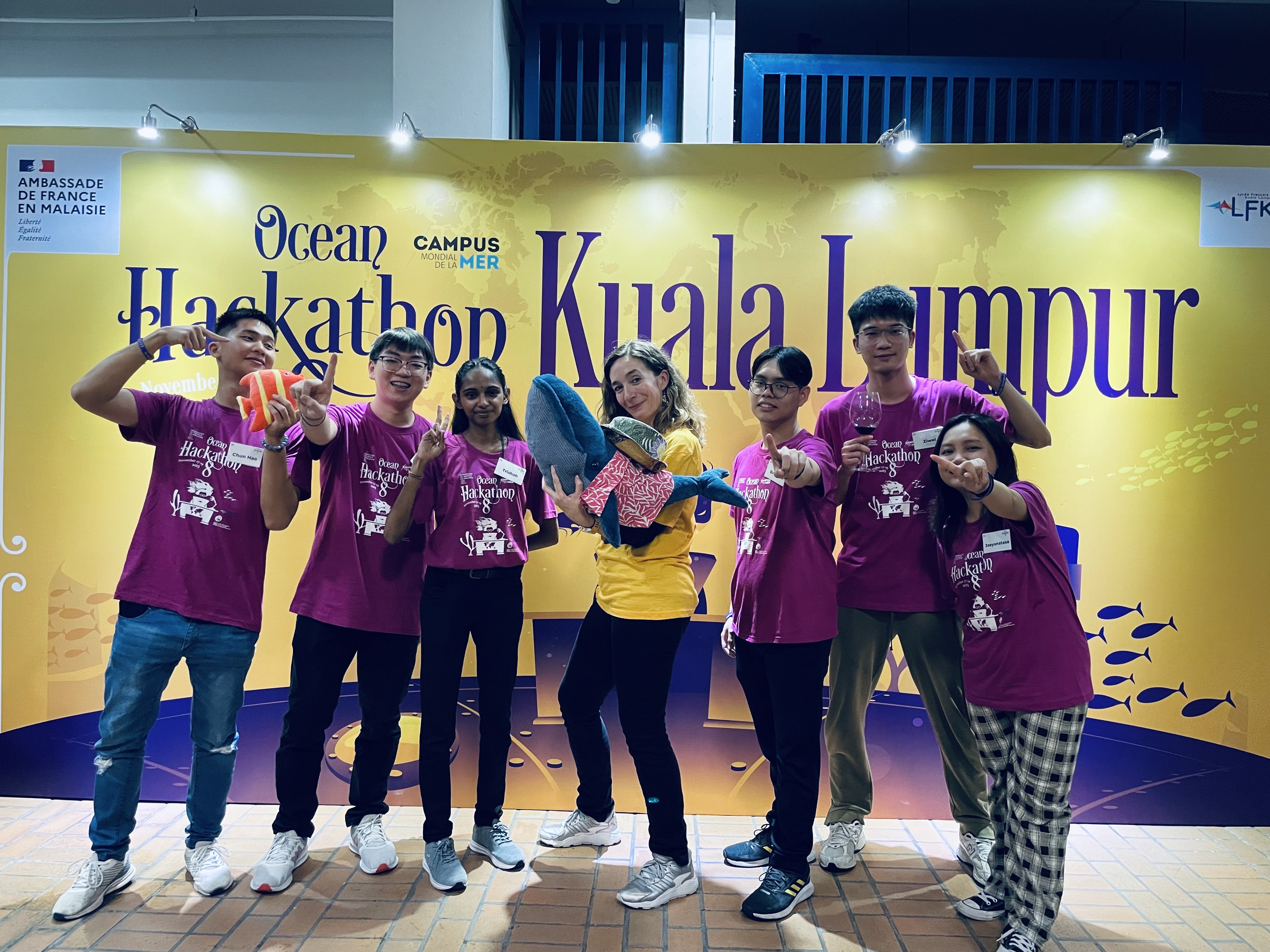
Kuala Lumpur (MA) : Advancing Management of Harmful Algal Blooms: A High-Performance Predictive Tool for Enhanced Prevention and Mitigation! (KUL09)
Led by: Aasiya Nadim (Asia Pacific University Malaysia)
HABs can cause harm due to their ability to produce potent toxins, or through impacts associated with their sheer biomass. The algorithm provides valuable insights and probabilistic forecasts based on historical data, environmental conditions, and biological factors. it is incorporated in an app to gather and provide information about red algae blooms and assist marine biologists, ocean fieldworkers, and leisure consumers.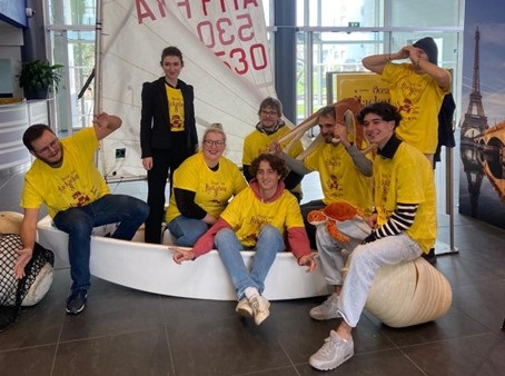
La Rochelle (FR) : Creating a tool for capturing photographic data on the condition of equipment on ships and integrating it into a business application for maritime surveyors (LAR06)
Led by: Kevin Henaf (Eloyot)
Our application is ready to be distributed to users. The control points are provided with photographs and educational sheets. Our challenges today are to implement a photographic AI on checkpoints to guide the user even more. Create maintenance alerts according to the recurrences recommended on the educational sheets.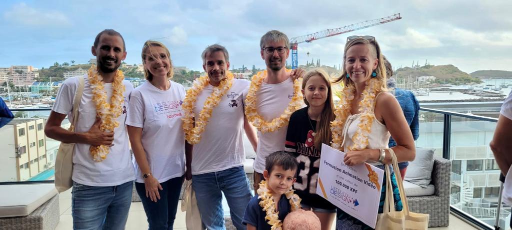
Nouméa (FR) : Sea you later (NOU06)
Led by: Aline Schaffar
3D modeling of the impacts of climate change on New Caledonia's coastal zones, to raise public awareness of the challenges of a changing world. The example was made on the Amédée island.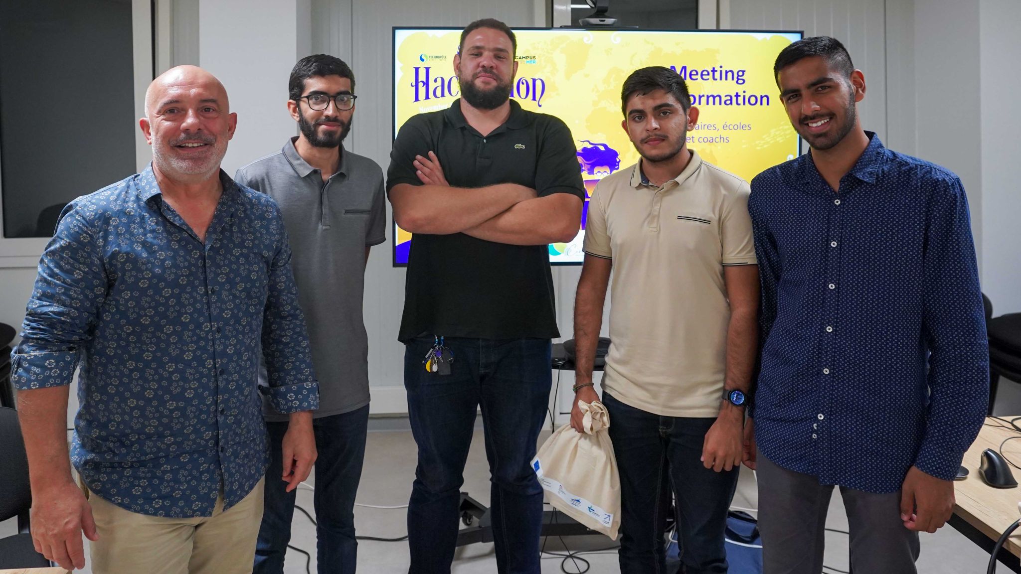
Nord de la Réunion (FR) : Globice cetacean monitoring (REU03)
Led by: Jean-Marc Gancille (Globice)
To make cetacean observation data from Globice's sea trips and population monitoring easily accessible and attractive online. Systematically put online and optimise the display of the survey effort around the island and the observation data (data, images, sounds) collected by the various Globice teams.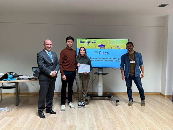
Peniche (PT) : Galene, an AI-powered model to guide nature-based solutions to climate change (PEN04)
Led by: Alessandra Sellini (Galene)We identify and forecast climate risk areas in coastal marine ecosystems, quantifying their value through ecosystem services. Our AI model processes physical, biological, and chemical parameters extracted from satellite data, resulting in the incorporation of over 1400 image layers. The results are overlapped with layers of human activity. During the recent Hackathon, where we gained valuable expertise to refine our business model, we also created a visual and interactive front end. Actionable by numerous maritime stakeholders, our software empowers conservation and helps align perspectives for sustainable oceans.
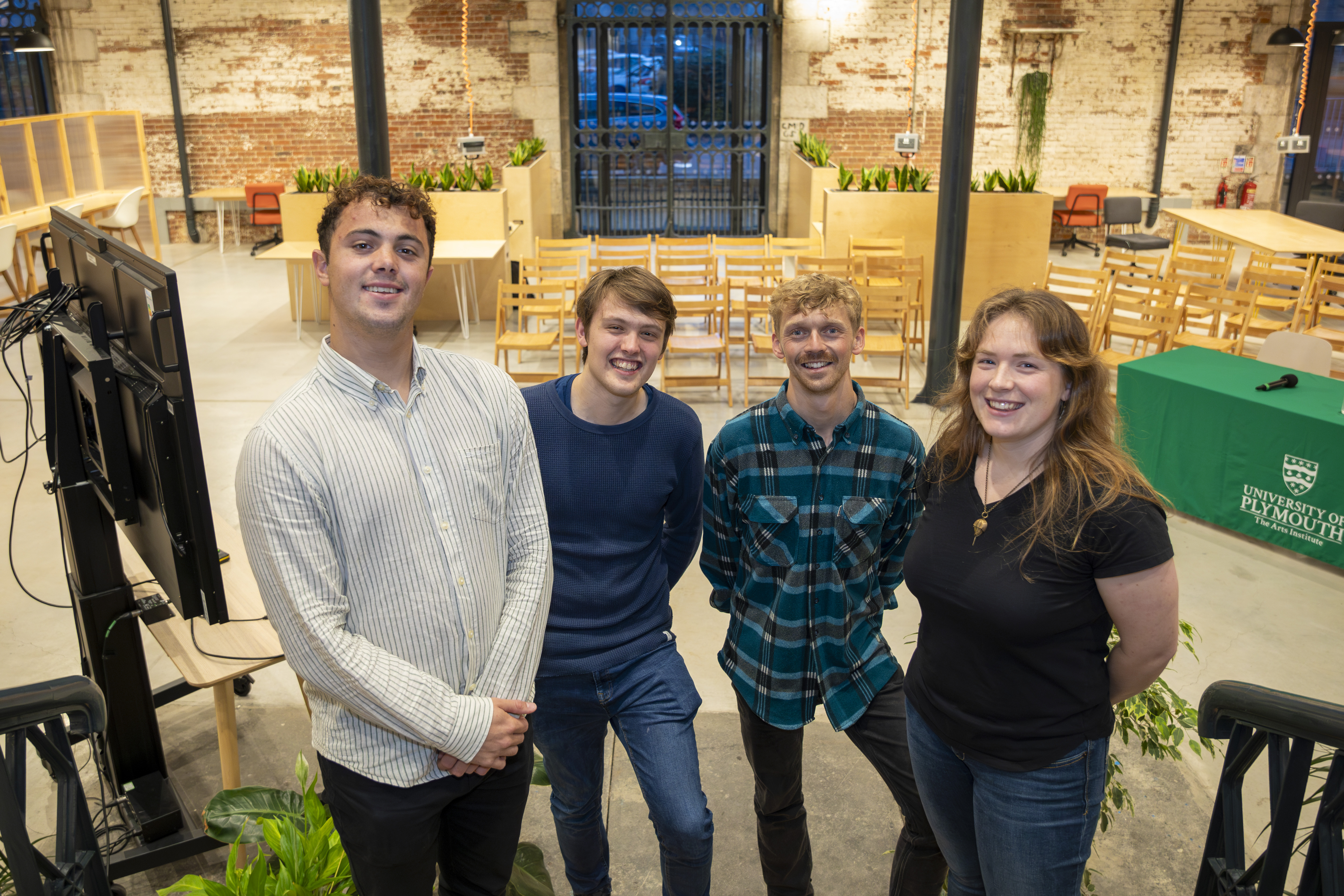
Plymouth (UK) : Coast Track (PLY04)
Led by: William Russel (Wales Coastal Monitoring Centre)Shoreline change information is a critical part of the data collected by the Wales Coastal Monitoring Centre. Traditional methods of beach data collection involve the use of expensive survey equipment and trained personnel. These surveys typically occur twice a year. CoastTRACK is an erosion risk forecasting and response tool. Using images submitted by the public to quantify and forecast erosion risk and recovery of sand levels along the coastline.
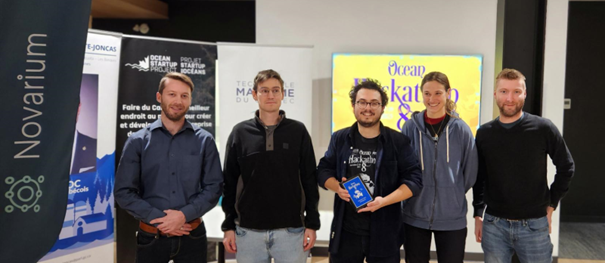
Rimouski (CA) : Predict the potential danger to marine mammals caused by ghost fishing gear in the St.Lawrence river (RIM04)
Led by: Dominic Gonthier (CIDCO)
Interactive map, displaying 2.75km x 2.75km zones with a prioritization score. Display of observation zones for different marine species (individually or in groups). Bathymetry available for the entire Gulf of St. Lawrence. As the zones in the prototype prior to the challenge were based on a plan, the area of the recovery zones diminished as you moved northwards. The zones were all redesigned to correct this problem. To ensure accessibility, the tool was deployed on the web with a domain name: www.missionpechefantome.ca
Toulon (FR): Vanessa, Simplifying marine communication with VANESSA, a new marine tool (TOU01)
Led by: Edouard Vallet (Vaiata Dynamics)
The aim is to create a mobile application using VANESSA, which will enable radio messages to be deciphered and transcribed on boats. AI for analyzing voice flows.A Grand Finale in Brest and online!
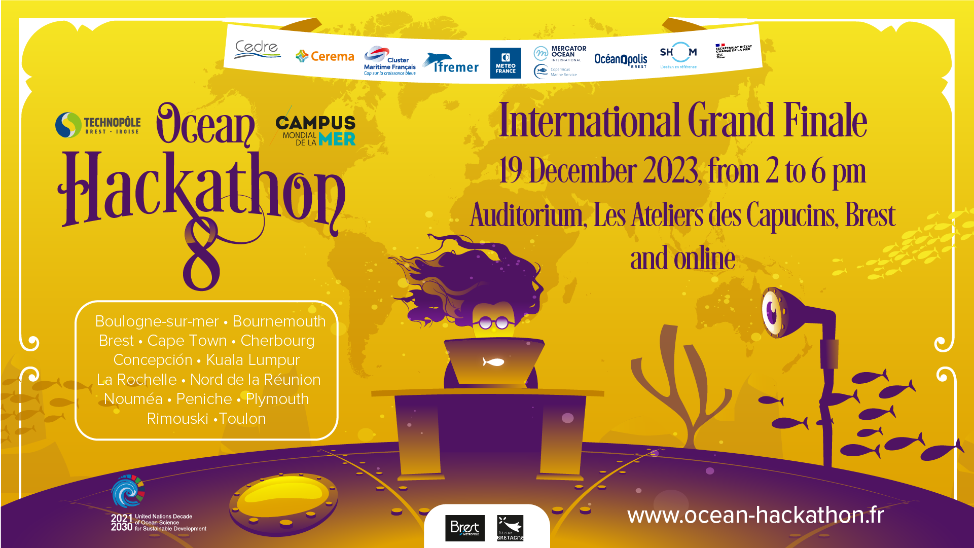
Coming from all over the world, the teams will have 6 minutes to pitch their project in English. An international jury will then decide between them, awarding the top 3 teams a prize of between €1,500 and €5,000, donated by the Ocean Hackathon® Ambassadors.
Date: 19 December 2023 2-6pm (CET, UTC+1, Paris time)
Venue: Atelier des Capucins, Brest (France).
Keynote :
The global observation program Argo: From data acquisition to new services.
By Kevin Balem (Ifremer).
The International Grand Finale will also be broadcast LIVE. So sign up to receive all the information.
The Ambassadors of Ocean Hackathon® 2023 are: Cedre, Cerema, French Maritime Cluster, Ifremer, Météo-France, Mercator Ocean International for the Copernicus Marine Service, Oceanopolis, Shom, French State Secretariat of the Sea.
Our Global community partner Ocean KAN will also be part of the jury.
- Published on 12/04/2023


