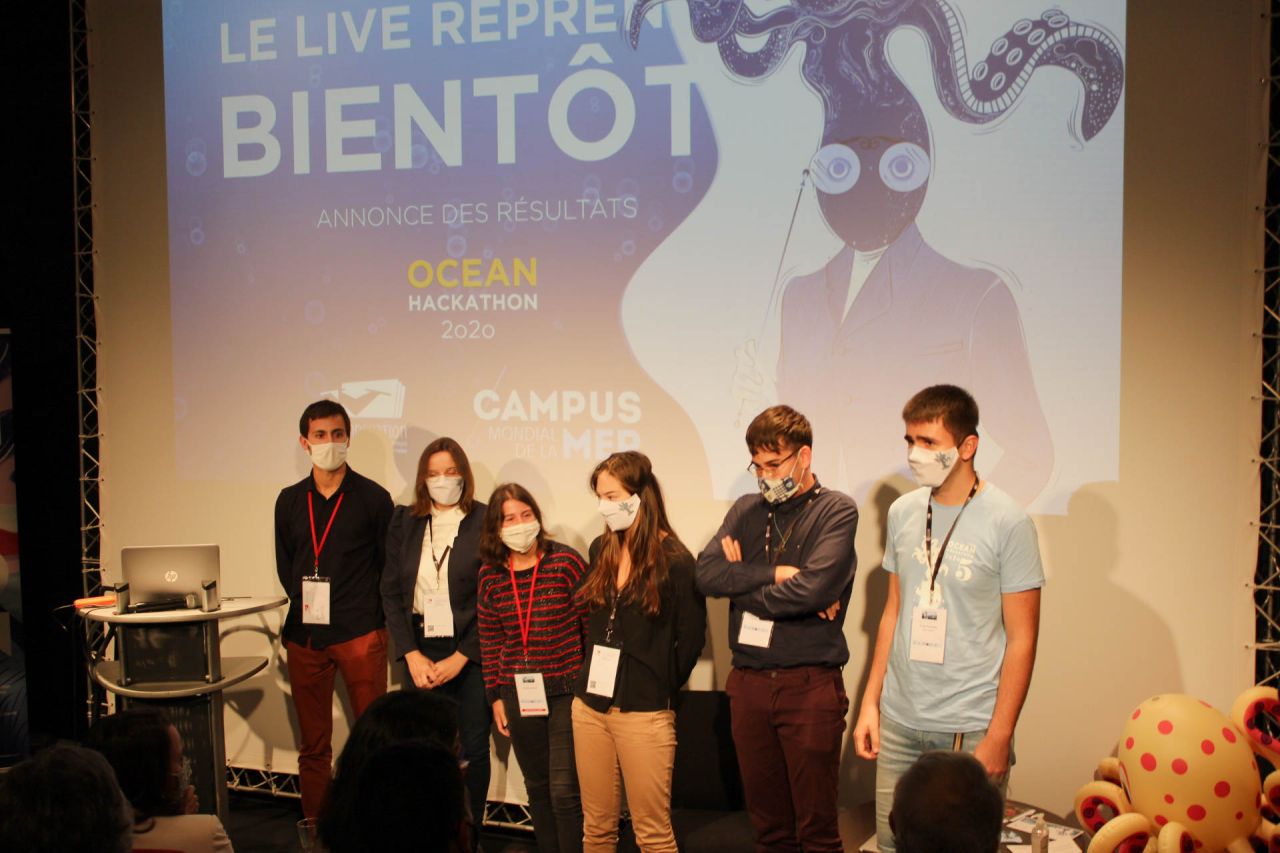
Ocean Hackathon® 2020 Final: Save the date!
- The grand finale of Ocean Hackathon® 2020 will be held on Friday, December 4, 2020 from 3:00 pm to 5:00 pm (CET) live and remote.
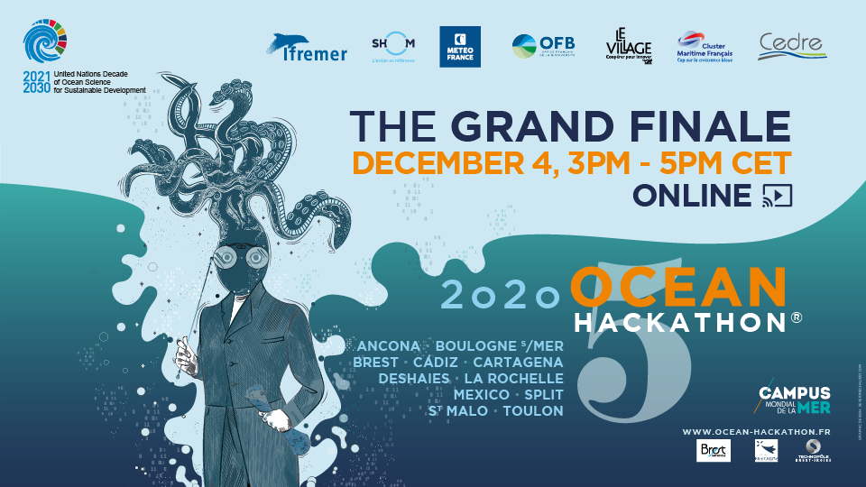
Just over a month ago, each of the 11 cities participating in Ocean Hackathon® 2020 selected its winning team from a total of 83 projects. In Ancona, Brest, Boulogne-sur-Mer, Cadiz, Cartagena, Deshaies, La Rochelle, México, Saint-Malo, Split, Toulon... or elsewhere in the world, come and cheer on your favourite team.
On the programme, pitching sessions of course but also interactive sequences and videos to relive the weekend's highlights and get to know the Ocean Hackathon® 2020 community better.
The jury composed of both the Ocean Hackathon® Ambassadors and a representative of each city will assign a certain number of points. The sum of the points will lead to the podium. The first three teams will be awarded a prize offered by the Ambassadors. This year, Ocean Hackathon® is also very honored by the participation of the French Ministry of the Sea in the jury. A prize "Coup de coeur du Ministère de la Mer" will be awarded to a team.
Event in English
Discover the jury
The Ambassadors and the French Ministry of the Sea
- Laurent Kerléguer, Director, Shom
- Romain Charraudeau, Director Technology Transfer and Innovation, Ifremer
- Matthieu Chevallier, in charge of the marine forecasting deparment , Météo France
- Representative of the Office Français de la biodiversité
- Stéphane Doll, Director, Cedre
- Frédéric Moncany de Saint Aignan, President, Cluster Maritime Français
- Sigolène Brun, Director, Le Village by CA Finistère
- Laure Dassonville, Representative of the French Ministry of the Sea
The local advisers
- Antonello Sala, CNR IRBIM (Ancona, Italy)
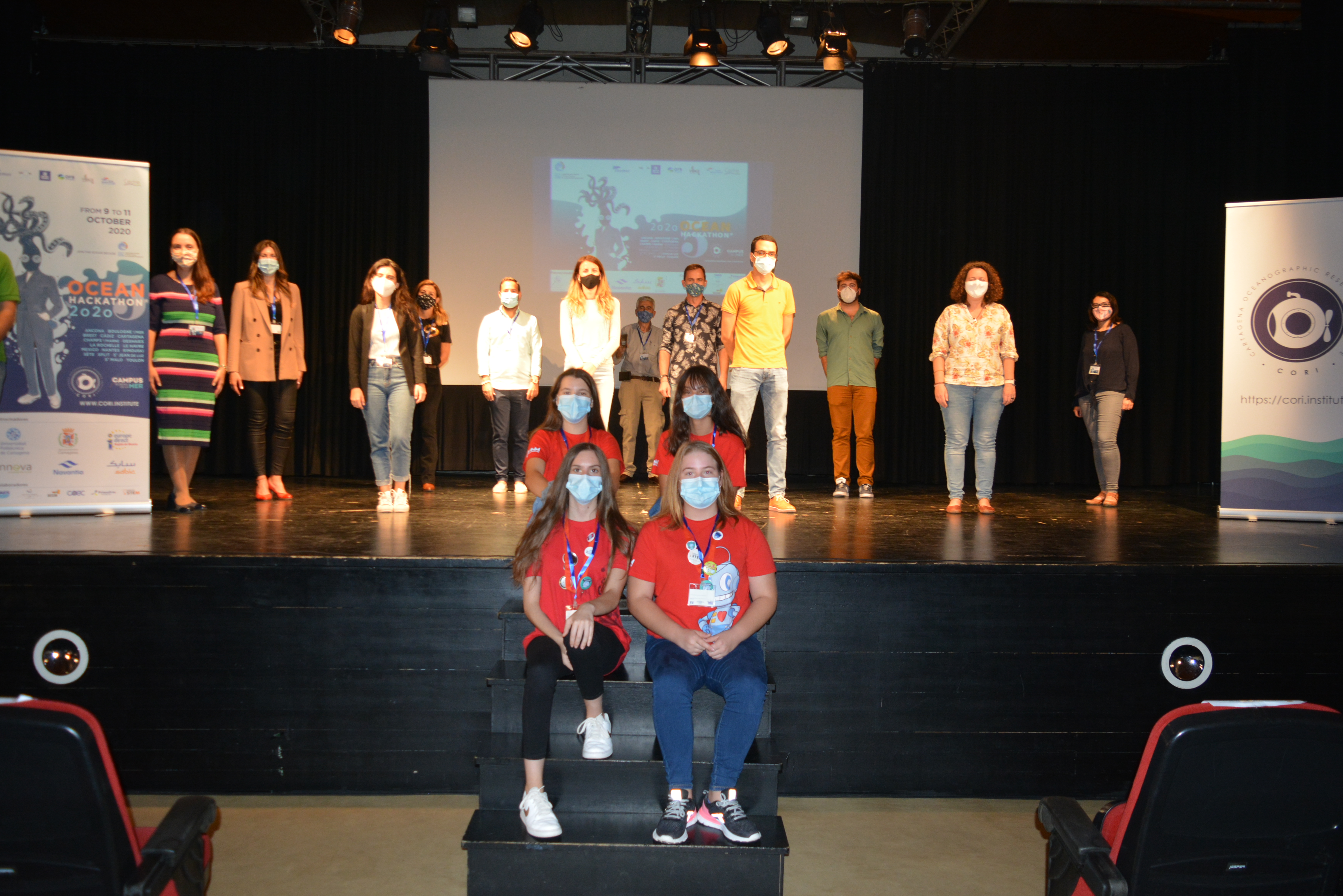
- Francisco López Castejón, Cartagena Oceanographic Research Institute (Cartagena, Spain)
- Nikola Balić, University of Split (Split, Croatia)
- Marie Nghiem, Village by CA PACA (Toulon, France)
- Nicolas Bessec, Les Vagues (Saint-Malo, France)
- David Merieau, Excelia Group (La Rochelle, France)
- Gaëlle Jean, Blue Living Lab NAUSICAA (Boulogne-sur-Mer, France)
- Sabine Garnier, KEM'S consulting (Deshaies, Guadeloupe, France)
- Valérie Barbosa, French Embassy in Mexico (México, México)
- Françoise Duprat, Technopôle Brest-Iroise (Brest, France)
- Francisco González Pérez, State Delegate of the Cádiz Free Trade Zone Consortium (Cadiz, Spain)
Who are the 11 winners?
Ancona, Italy
How do invasive species spread? Animating raw data to communicate invasion histories

“A challenge to analyze and communicate one of the greatest changes of our time: that of the spread of invasive species in our seas. In just 48 hours, a team of four Italian researchers leaded by CNR-IRBIM Ancona, reconstructed over a century of invasion, animating historical observations collected by scientists all over the Mediterranean Sea. Reports from other sources, such as social networks and citizen science were used as well.
The work of these hackathoners allows us to visualize the extent of these changes and their impact on coastal ecosystems, with interesting predictive applications”
Boulogne-sur-Mer, France
MOPODES
This challenge will involve developing a digital tool in the form of a platform, website or application that will serve to inform, centralise and model the various data collected through our study projects.
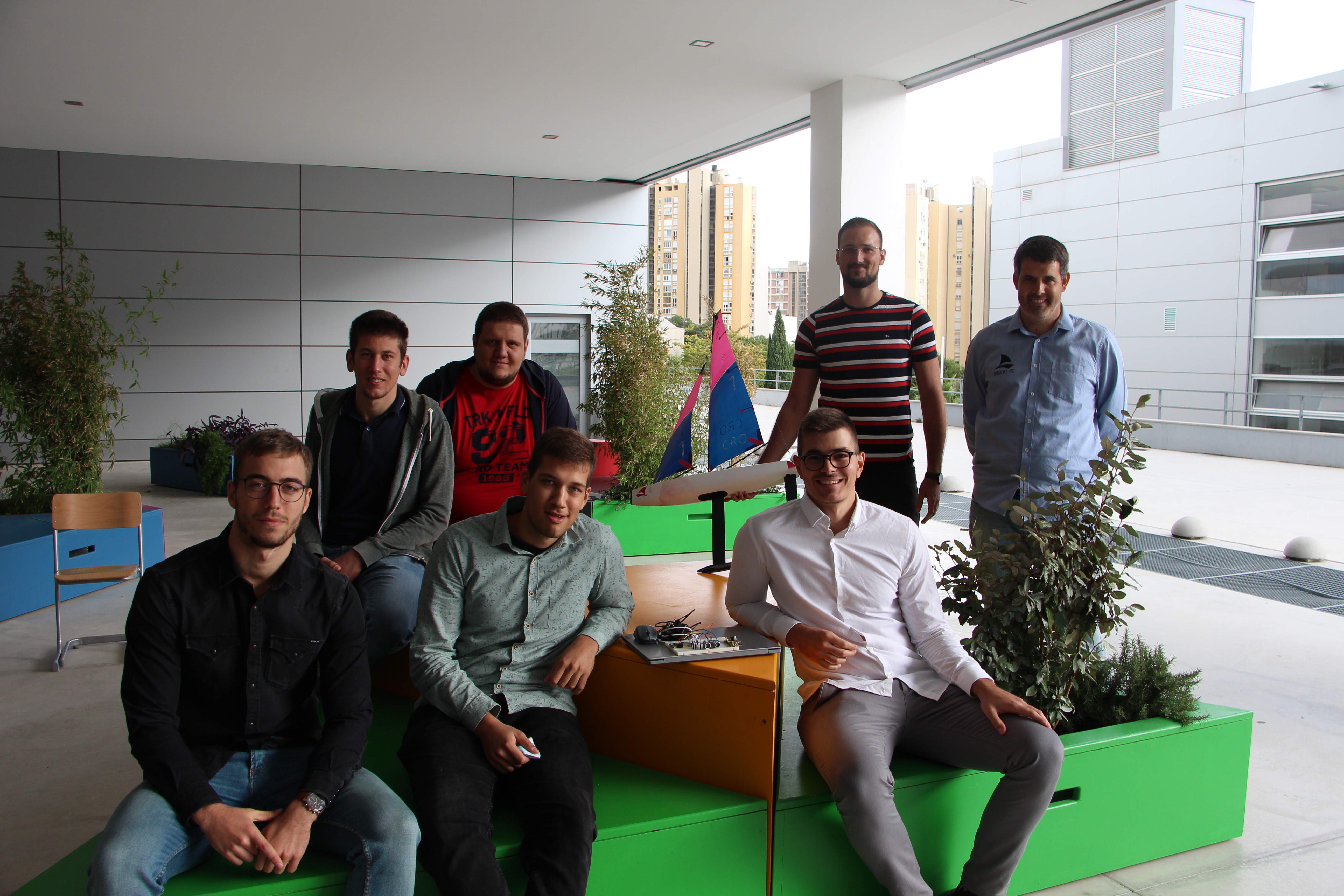
Brest, France
Marine Analyst
The Marine Analyst simplifies and aggregates access to marine data made available by the various European portals (EMODnet, Copernicus, IUCN, ICES, etc.). To this access, the Marine Analyst integrates a complete and open analytical system. The objective is to create added value to individual information in order to respond to societal and environmental issues related to the marine domain.
Cádiz, Spain
Quantification of ocean litter using images (I-LITTER)
During the Ocean Hackathon® I-LITTER has developed a prototype of an app able to recognize and quantify litter items in an image taken by a mobile phone. The app uses artificial intelligence to categorize each of the litter items present in the photo and is able to calculate the approximate area and weight of every single object.
Cartagena, Spain
Seahorses georeferenced system
The challenge was proposed by a NGO focused on the seahorse protection on the Mar Menor Coastal lagoon. They need some system to improve the manual system used to record the information collected regarding the seahorses observed. An app was developed connected to a map server. The app allows the diver to record the coordinates, size, sex, and sea bottom type of each seahorse detected.
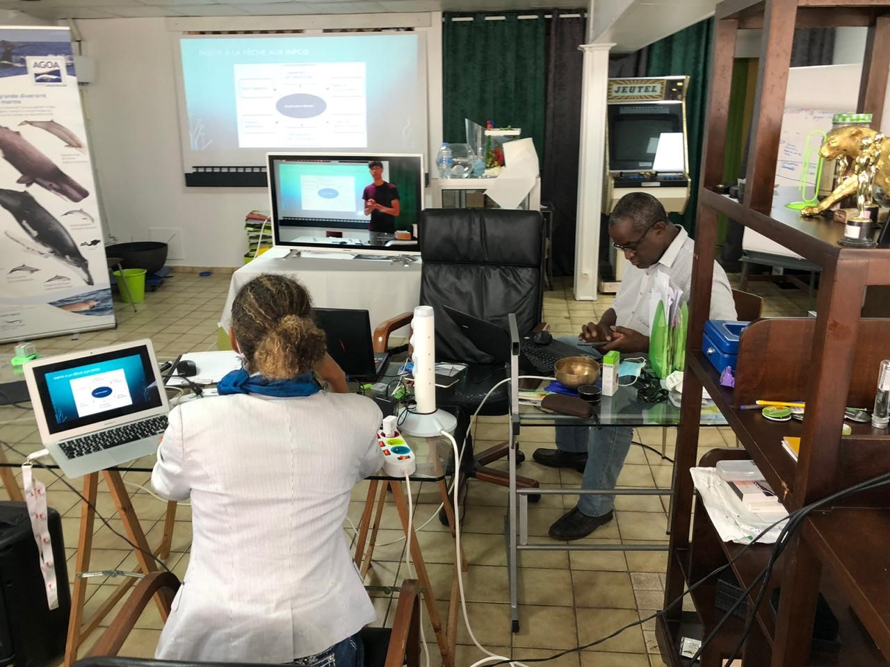
Deshaies, France
3D Label

As part of the HITECH-CLEAN TECH-GREEN TECH project, while defining a recycling channel for plastic waste, a source of marine pollution that endangers the environment and the nostril biocenosis in particular, the "3D label" project The first part of the project, which is based on the rating of companies with good environmental practices, consists of developing resources and preserving marine biodiversity in the Atlantic Ocean/Caribbean Sea and creating a mobile application based on the rating of companies with good environmental practices.
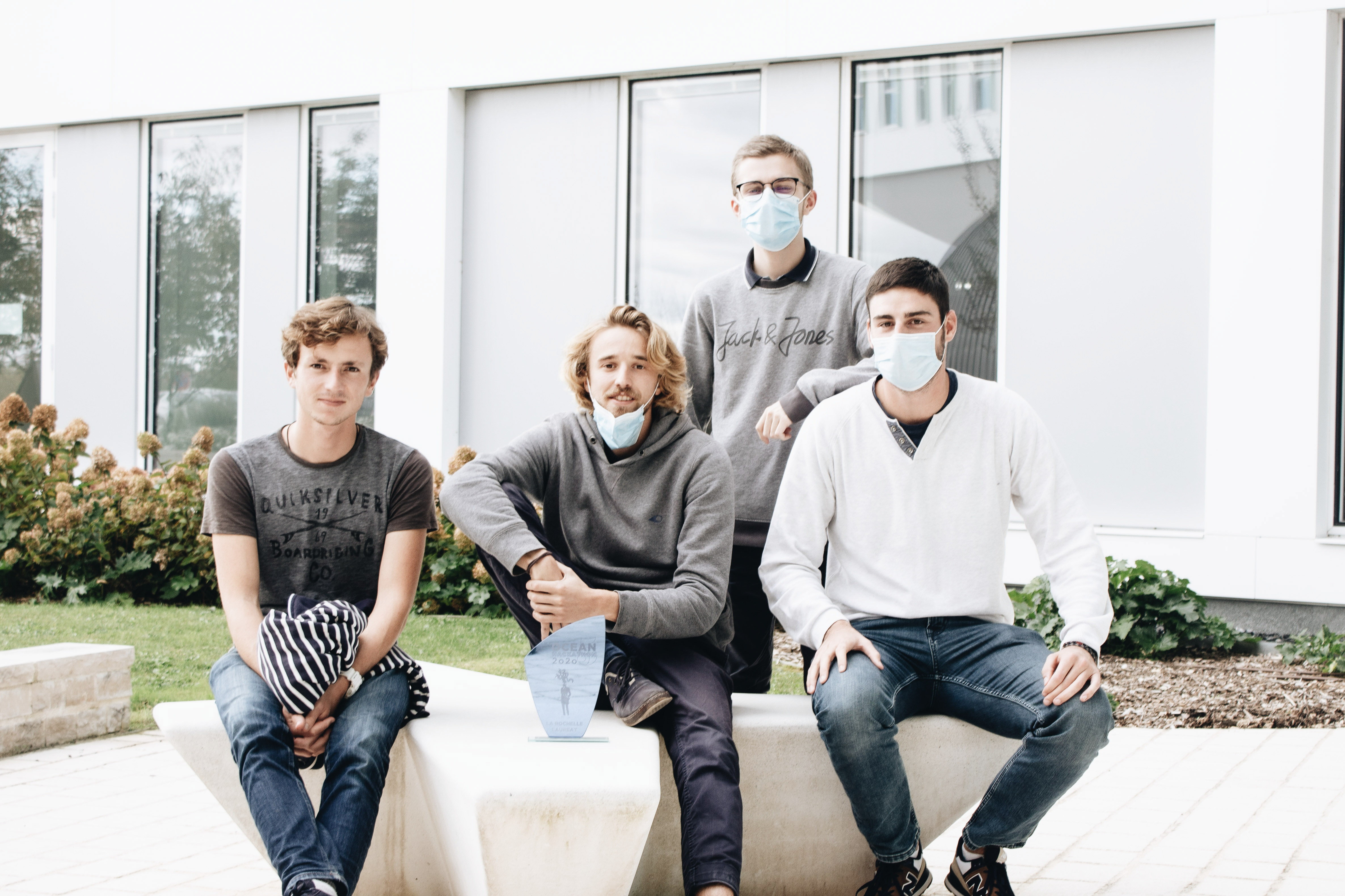
La Rochelle, France
App for maritime navigation
Knowing the depth at all times under your boat is a precious piece of information for pleasure boating, whether for leisure (fishing, ...) or to compare the depth with your draught. However, for economic reasons, many boats do not have a depth sounder (day cruising or light sailing for example). The objective of this mobile application is to offer an alternative to the use of the depth sounder, free and easy to use. The aim is to provide navigators with information on the depth and tidal current where they are in the Pertuis. A water height prediction is made thanks to the GPS position of the smartphone, in real time. This prediction is based on the use of a regional tidal atlas, itself elaborated thanks to a hydrodynamic model developed within the framework of a thesis carried out at the Laboratoire LIENSs (University of La Rochelle).
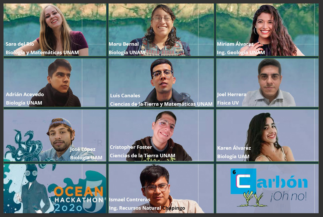
México, Mexico
Carbón ¡Oh no!
Despite its relevance and fragility, sea grass beds are one of the least protected coastal ecosystems on the planet. The "Carbón ¡Oh no!" team has generated a model based on artificial intelligence, capable of detecting, from Landsat satellite images, changes in the coverage of sea grass beds in the Los Petenes Biosphere Reserve (Campeche, Mexico). The purpose of this tool is to estimate the quantity of carbon sequestered by these organisms, translate it into carbon credits and express its value in dollars. The aim of the project is thus to make visible the economic and biological importance of this ecosystem, as well as the urgent need to preserve it because of its potential to mitigate climate change.
Split, Croatia
Advanced mooring in marinas
The team developed a prototype of hardware and software solution and web application for advanced mooring in marinas that will enable every marina, harbor or port to achieve much better efficiency. The software to map every possible space for mooring of yachts, sailboats, powerboats, etc. and to put those places online so everybody can see available and reserved positions, make their own reservation and be totally worry-free while sailing to the final destination. Hardware addon of the system is connected to the IT reservations system and enables reservation for each possible position in every harbor / marine so that every sailor which enters that marine will know exactly which spot is taken and what reserved space is his. Furthermore, the IT solution on the website has a map which leads the skipper directly to his reservation space.
Saint-Malo, France
Mammif'Air
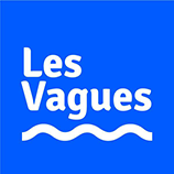
The creation of a tool for analysing drone images to obtain new complementary scientific data on cetaceans such as their speeds, headings and biometrics.
Toulon, France
Natural Solutions

The aim of the project is to create an IDO "internet of the oceans" using boats as relays. In particular, they will be used to retrieve and then transmit the messages sent by LORA beacons - low cost and low speed - which marine species are equipped to transmit to terrestrial servers. These messages will make it possible to provide information on the animal's behaviour, but also other types of information such as the state of the seabed, the level of biodiversity or even useful information for fishermen and sea users.
- Keywords : <a href="News-3537-0-0-0.html?b3338_TAGs_57=723">final</a>, <a href="News-3537-0-0-0.html?b3338_TAGs_57=724">finale</a>, <a href="News-3537-0-0-0.html?b3338_TAGs_57=144">Ocean Hackathon</a>
- Published on 11/13/2020

